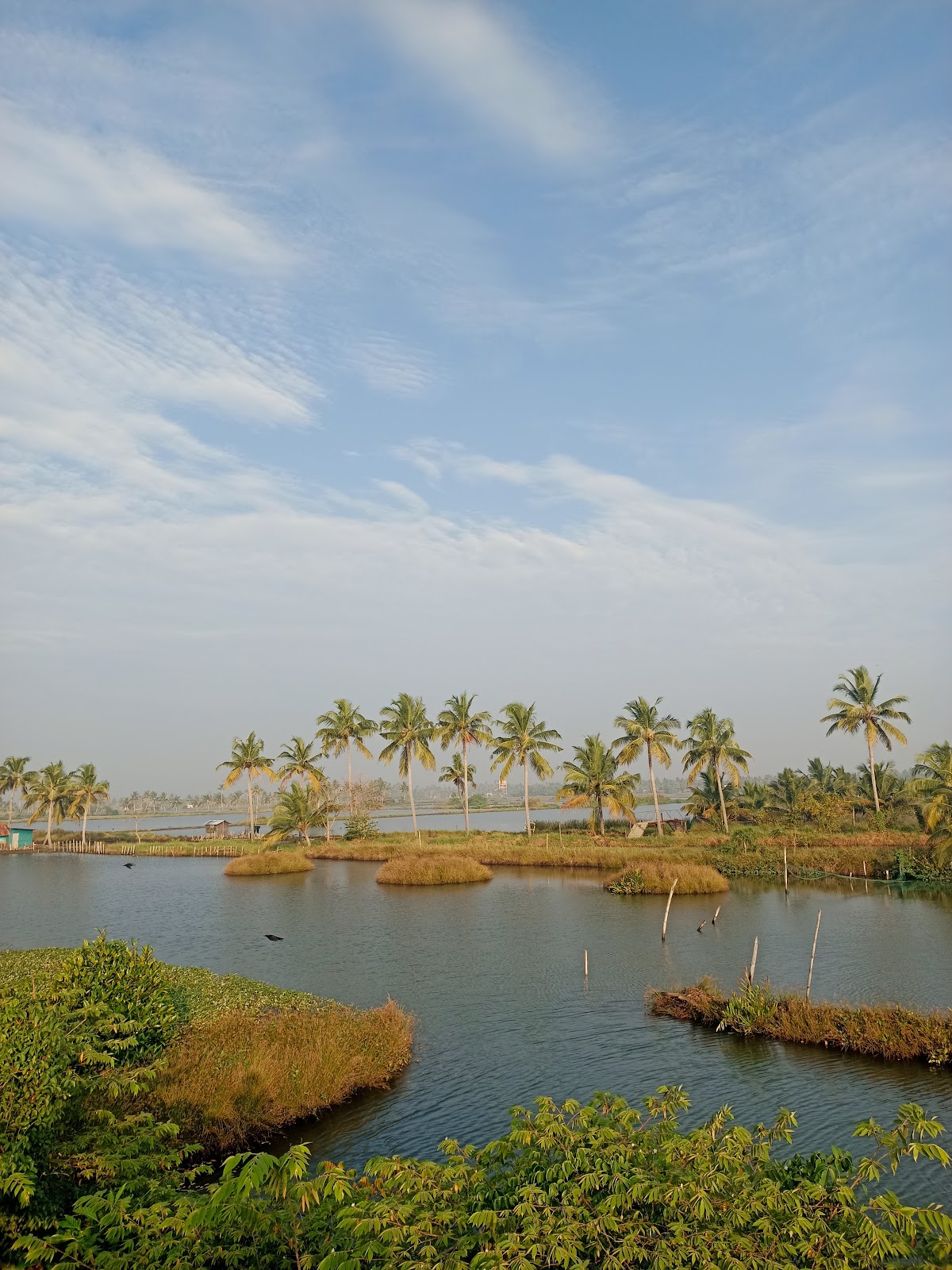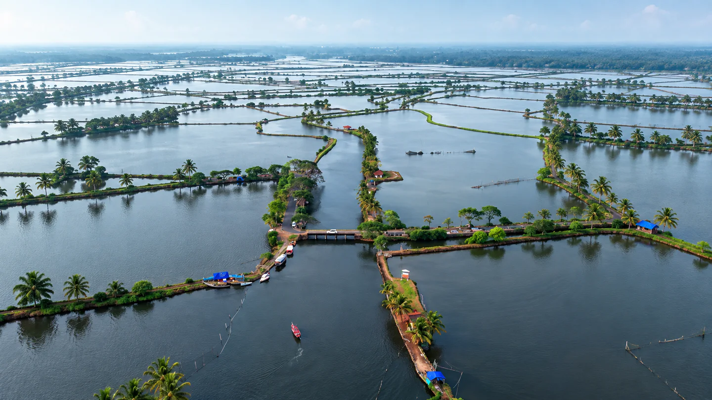
Aerial editorial reconstruction of Kadamakkudy island wetlands and water plots

Ernakulam · Kerala destination

Kadamakkudy

Plan a slow Kadamakkudy outing around paddy fields, backwaters, narrow island roads and everyday village landscapes. Come for the light and quiet, respect working land and waterways, and verify any boat, farm or guided experience before setting out.

Aerial editorial reconstruction of Kadamakkudy island wetlands and water plots — AI-generated editorial reconstruction

BackwatersWetlandsVillage life

Discover Kadamakkudy

A network of islands, fields and waterways

Kadamakkudy is a cluster of low-lying islands near Kochi, shaped by backwaters, narrow bridges, paddy fields, coconut groves and fishing activity. It feels close to the city on a map but rewards a very different pace: short walks, patient observation and time for changing light across water and fields.

This is not an attraction with one gate, timetable or viewing platform. The saved destination pin is a planning reference, while the real experience spreads across roads, bunds, bridges and village edges. Some areas are working farms, aquaculture plots or private property, so access should never be assumed.

Choose a nearby stay according to the trip you want. An island or riverside property can reduce early-morning travel; a Kochi base may offer more services but adds a transfer. Always verify the actual route, parking and check-in point with the property.
Why Kadamakkudy

Water, fields and village life in one landscape

Kadamakkudy works best for travellers who value atmosphere over a checklist.

Backwater scenery close to Kochi

Water channels, palms, fields and low bridges create a layered landscape without requiring a long journey into Kerala's larger backwater regions.

Working rural life

Fishing, farming, aquaculture, coir-related work and local travel are part of everyday life here. Observe respectfully rather than treating residents or livelihoods as staged attractions.

Sunrise, sunset and birds

Open fields and water can create rewarding light and bird activity. Sightings and colours depend on season, weather, tide and farming conditions; no particular view is guaranteed.

A naturally slow itinerary

The islands suit walking, cycling and short stops. Fewer destinations and more time at each viewpoint usually produce a better visit than racing between many pins.

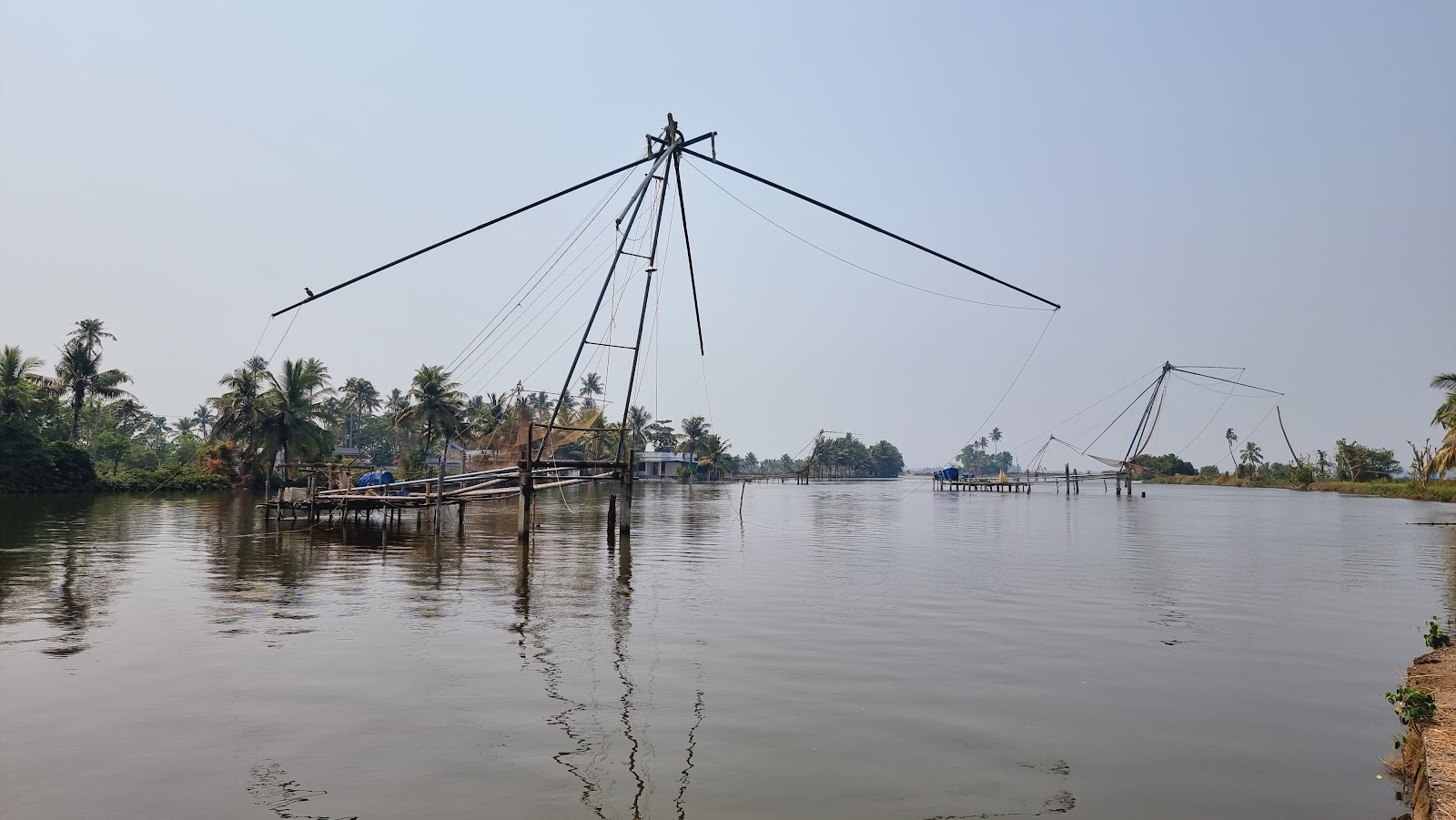
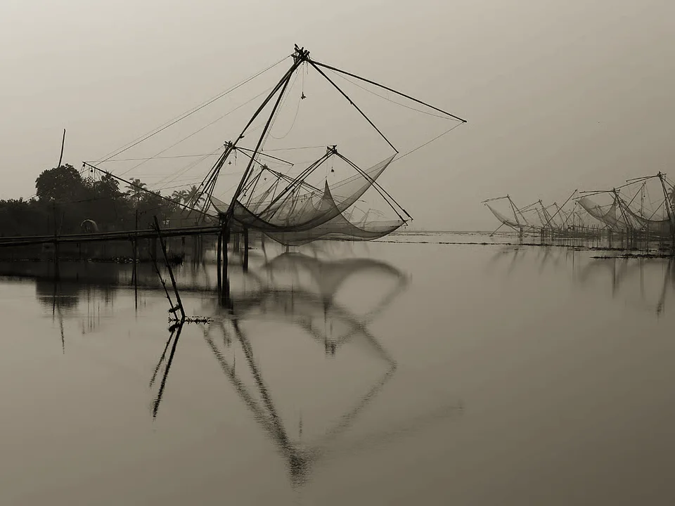
Fishing nets reflected in calm Kerala backwaters
Fishing nets reflected in calm Kerala backwaters — user-supplied corrected image

Places nearby

Places to visit around Kadamakkudy

Use the verified destination notes and nearby place guides to plan a practical route.

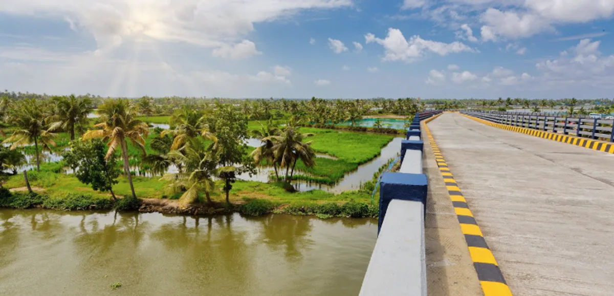
Pizhala bridge overlooking the Kadamakkudy island landscape
Pizhala bridge overlooking the Kadamakkudy island landscape — user-supplied corrected image

Planning notes for places near Kadamakkudy

Kadamakkudy View Point

Use the verified viewpoint record as a practical orientation stop, then assess parking and pedestrian safety on arrival. A map pin does not guarantee a formal platform or unrestricted access.

Pizhala Bridge View Point

The bridge area can add a broader water-and-island perspective. Stop only where parking and standing are permitted, keep carriageways clear and avoid blocking local traffic.

Kadamakkudy Backwaters

Enjoy the water landscape from public roads, bridges and permitted edges. Enter a boat only through a credible operator with suitable safety equipment and a clearly agreed route.

Walkways, fields and sunset points

Several CMS records use overlapping names for walkways, lake views and sunset locations. Treat them as route ideas rather than separate must-see attractions, and verify the current approach locally.

Browse the wider nearby list for more options, but keep a Kadamakkudy outing compact. Fort Kochi, Cherai and city museums are separate plans even when they fall within a broad coordinate radius.

Things to do

Slow down and follow the island rhythm

Walk a public island road

Choose a cooler part of the day, face traffic where appropriate and step aside for residents and vehicles. Avoid narrow bunds or field paths unless access is clearly permitted.

Cycle thoughtfully

A bicycle can suit the flat landscape, but roads and bridges may be narrow. Use lights, a helmet and a cautious speed, especially around bends, pedestrians and wet surfaces.

Watch birds without disturbing them

Carry binoculars, keep noise low and avoid approaching nests or feeding areas. Do not promise a species checklist; conditions change with season, tide and habitat.

Photograph changing light

Sunrise and sunset can be beautiful, but ask before photographing people, homes, boats at work or private activity. Do not stand in traffic or enter fields for a cleaner composition.

Book local experiences carefully

Boat rides, fishing demonstrations, farm visits and food experiences should be arranged with a verified host or operator. Confirm inclusions, safety equipment, weather policy and meeting point before paying.

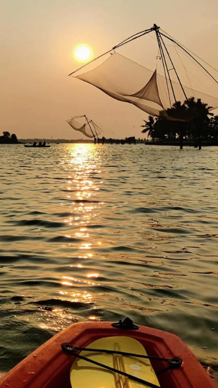
Kayak view of fishing nets at sunset near Kadamakkudy
Kayak view of fishing nets at sunset near Kadamakkudy — user-supplied corrected image

Best time to visit

Choose weather, light and water conditions carefully

November to February

These months are a useful starting window for outdoor walking and cycling. Conditions still vary, so check the actual forecast and local field situation.

March to May

Expect hotter conditions. Plan outdoor time early or late, carry drinking water and protect yourself from sun exposure.

Monsoon months

Rain can make roads, edges and field paths slippery or waterlogged. Visibility, boat operations and access can change quickly; keep a flexible plan and follow weather warnings.

Sunrise and sunset outings

The best light is not a guarantee of safe access. Arrive with enough daylight to understand the route, park responsibly and leave before unfamiliar roads become difficult to navigate.

A simple plan

A slow day across the islands

Morning — Arrive in cooler light

Confirm the final route and begin at a public viewpoint or bridge where stopping is safe. Take time to understand the island layout rather than chasing several pins.

Morning — Walk or cycle a short section

Choose a public road suited to your group and observe fields, waterways and village activity without entering private land.

Late morning — Local breakfast or stay break

Use a verified eatery or your accommodation. Ask about availability and dietary needs instead of assuming every small outlet keeps fixed hours.

Afternoon — Rest or add one confirmed experience

If you have pre-arranged a boat, farm or fishing activity, reconfirm the operator, weather and safety plan. Otherwise leave the hottest hours unstructured.

Evening — One sunset location

Return to a verified public edge or bridge with safe parking. Leave the area clean and depart before darkness complicates the final road.

How to reach

Confirm the final island approach

By road

Kerala Tourism identifies the Varappuzha side and NH 66 as the main road context. Use navigation to your exact stay or agreed meeting point, then confirm the final bridge, parking and turning space locally.

By train

Ernakulam Junction and Ernakulam Town are the principal railway references in official district guidance. Compare the onward road transfer to your exact island destination rather than relying on one fixed distance.

By air

Cochin International Airport is the main airport for the district. Allow for city traffic and confirm pickup instructions with your accommodation or driver.

By bus and local transport

Public and private road services connect the wider Kochi and Varappuzha area, but the last island segment may require a local bus, taxi or autorickshaw. Verify the correct stop and evening availability.

By water

Official network maps may show planned or developing water-transport connections around Kadamakkudy. Do not rely on a terminal or service without checking the current operator timetable and actual boarding point for your travel date.

Open Kadamakkudy in Google Maps

Plan well

Small choices protect the island experience

Confirm the exact pin

Kadamakkudy covers multiple islands and viewpoints. Share the actual property, bridge or meeting point rather than only the destination name.

Carry essentials

Bring drinking water, sun or rain protection, insect repellent and any personal medication. Small local outlets may not match city opening hours or stock.

Respect homes and livelihoods

Keep voices low, ask before photographing people and avoid doorways, nets, boats, fish ponds and farm work areas. Never fly a drone without the required permissions.

Leave no waste

Carry reusable water containers and take all packaging back with you. Do not leave food waste, cigarette ends or plastic near fields and waterways.

Ask before entering

A scenic path, bund or water edge may be private, fragile or actively used. Seek permission and turn back without argument when access is restricted.

Accessibility and children

Ask your stay or local host about road width, steps, toilets, seating, railings and boat access. Open water, traffic and uneven edges require close supervision.

Safety first

Stay careful around water, roads and working land

Water edges

Banks, bunds and steps can be slippery or unstable. Keep back from unprotected edges and do not enter water based only on appearance.

Boats

Use a credible operator, wear an appropriate life jacket and follow capacity and weather decisions. Avoid unplanned night trips or vessels without basic safety equipment.

Narrow roads and bridges

Do not stop vehicles on blind bends or bridges for photographs. Walk predictably, use lights after dusk and give local traffic priority.

Heat, rain and storms

Change the plan during intense heat, heavy rain, lightning or official alerts. Low-lying roads and fields may respond quickly to weather and water conditions.

Wildlife and insects

Observe birds and other wildlife from a distance. Carry suitable insect protection and avoid touching animals, nests or unknown plants.

Local help

Keep your accommodation and driver contacts available offline. For urgent assistance, contact local staff or the appropriate emergency service.

Useful answers

Questions about visiting Kadamakkudy

What is Kadamakkudy known for?

It is known for a cluster of backwater islands near Kochi, with paddy fields, narrow bridges, coconut groves, fishing landscapes and quiet village roads.

How much time should I allow?

A half day suits a slow walk, cycle or viewpoint outing. One night can make sunrise or sunset easier without rushing the road transfer.

Is Kadamakkudy one island?

No. Official tourism material describes a cluster or network of islands. Use the exact bridge, stay or meeting point when planning.

Can I take a boat ride?

Only when arranged through a credible local operator or host. Confirm the current route, weather policy, capacity and life jackets before boarding.

Is the Water Metro operating to Kadamakkudy?

Do not assume so from a network map or proposed terminal. Verify the current official timetable, operational status and boarding point for your travel date.

What is a useful season to visit?

November to February is a practical starting window for outdoor exploration. Weather, water levels, field conditions and bird activity still vary.

Is Kadamakkudy suitable for cycling?

The flat island landscape can suit cycling, but roads and bridges may be narrow. Use safety equipment, ride slowly and avoid busy or low-visibility periods.

Can I enter paddy fields or fishing areas?

Not without clear permission. Many scenic areas are working or private landscapes, and access can damage crops, bunds or equipment.

Are nearby listings driving distances?

No. Hopnest lists published stays and places within 20 km by straight-line coordinates. Bridge routes and city traffic can make the real journey longer.

Stay near Kadamakkudy

Find a nearby stay

Spend less time travelling and keep more time for the destination.

View all nearby stays