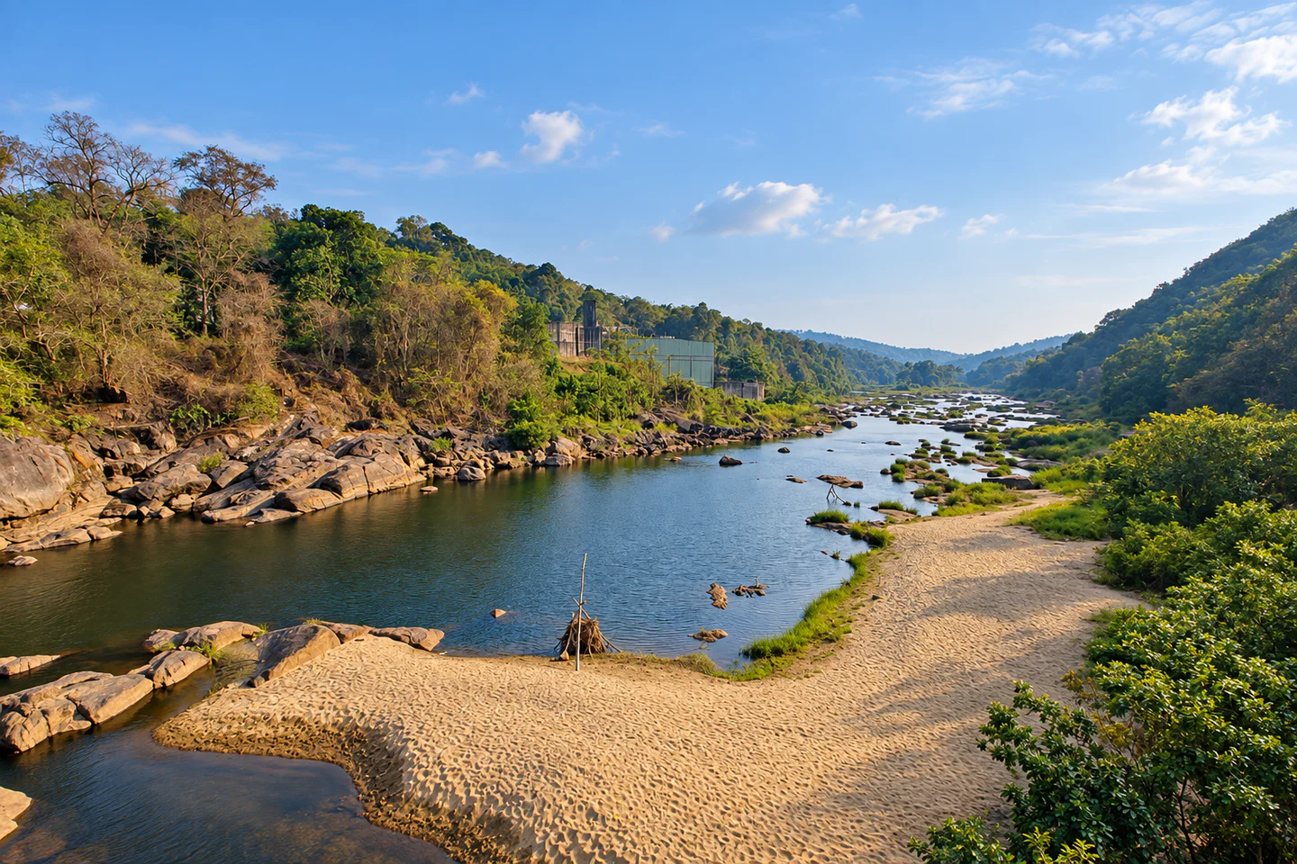
Rocky river valley and forested hills at Athikkayam

Pathanamthitta · Kerala destination

Athikkayam

Use Athikkayam as a slow base for river-valley scenery, forested hills and the road towards Perunthenaruvi. Plan around daylight and current weather, and treat every rocky river edge, waterfall and barrage zone with caution.

Rocky river valley and forested hills at Athikkayam — AI-assisted editorial reconstruction from a user-supplied reference

RiverWaterfallsHighlands

Discover Athikkayam

A lived-in village between river and hills

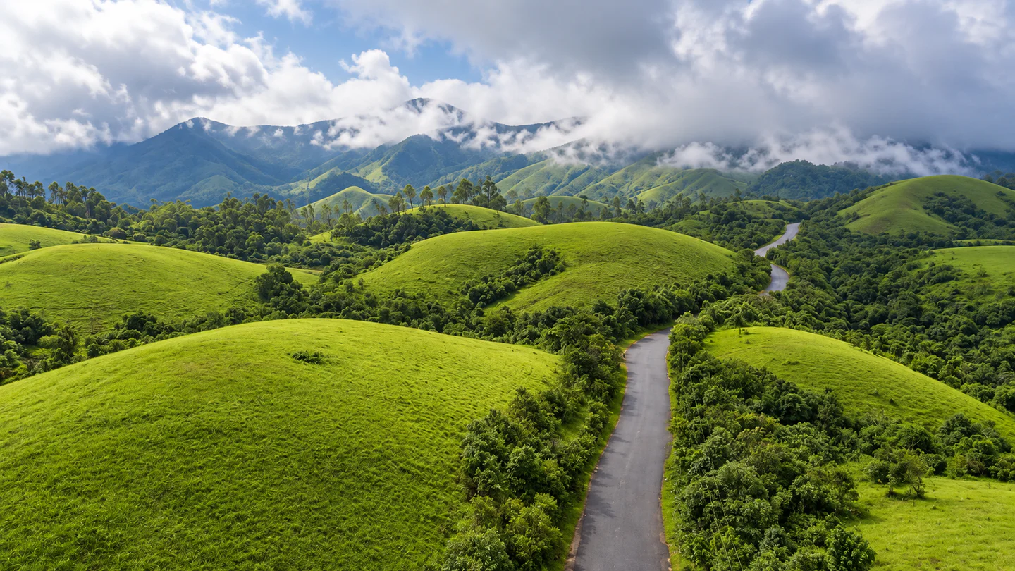
Athikkayam is a village in the eastern highlands of Pathanamthitta rather than a gated sightseeing complex. The appeal lies in its wider setting: bends of the Pamba river system, wooded slopes, local roads and access towards Perunthenaruvi. Kerala Tourism's location directory identifies Athikkayam in Naranammoozhy Panchayat, while the district administration lists Athikkayam as a village in Ranni taluk.

The destination works best for travellers who enjoy an unhurried landscape and want a practical base outside a major town. The road journey and changes in elevation are part of the experience, but ordinary village life always takes priority over photography or roadside stopping.

Perunthenaruvi is the clearest researched anchor for a visit. DTPC Pathanamthitta identifies the Ranni–Athikkayam–Kudamurutty road as its main approach. Keep the itinerary flexible because rain, high water, maintenance work or official alerts may affect river and hill access.
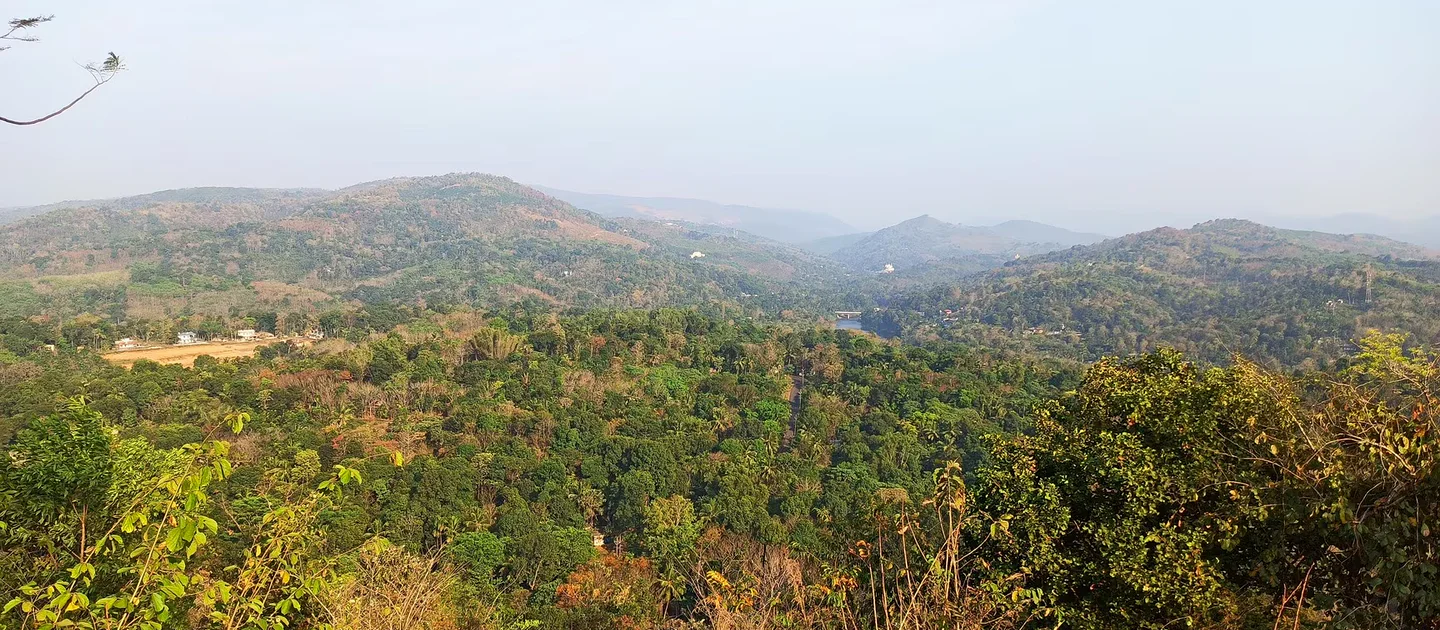
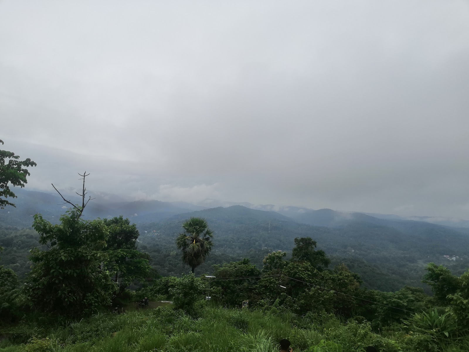
Panoramic view across the forested Athikkayam highlands
Panoramic view across the forested Athikkayam highlands — user-supplied corrected photograph

Why Athikkayam

A landscape that rewards a slower route

Pamba valley atmosphere

River channels, exposed rock and forested slopes give the area a distinct highland character. Water levels and colour vary sharply between dry periods and the monsoon.

The route to Perunthenaruvi

Athikkayam sits on the principal road approach identified by DTPC. This makes it useful as a base or pause point for a carefully planned waterfall visit.

Layered hill views

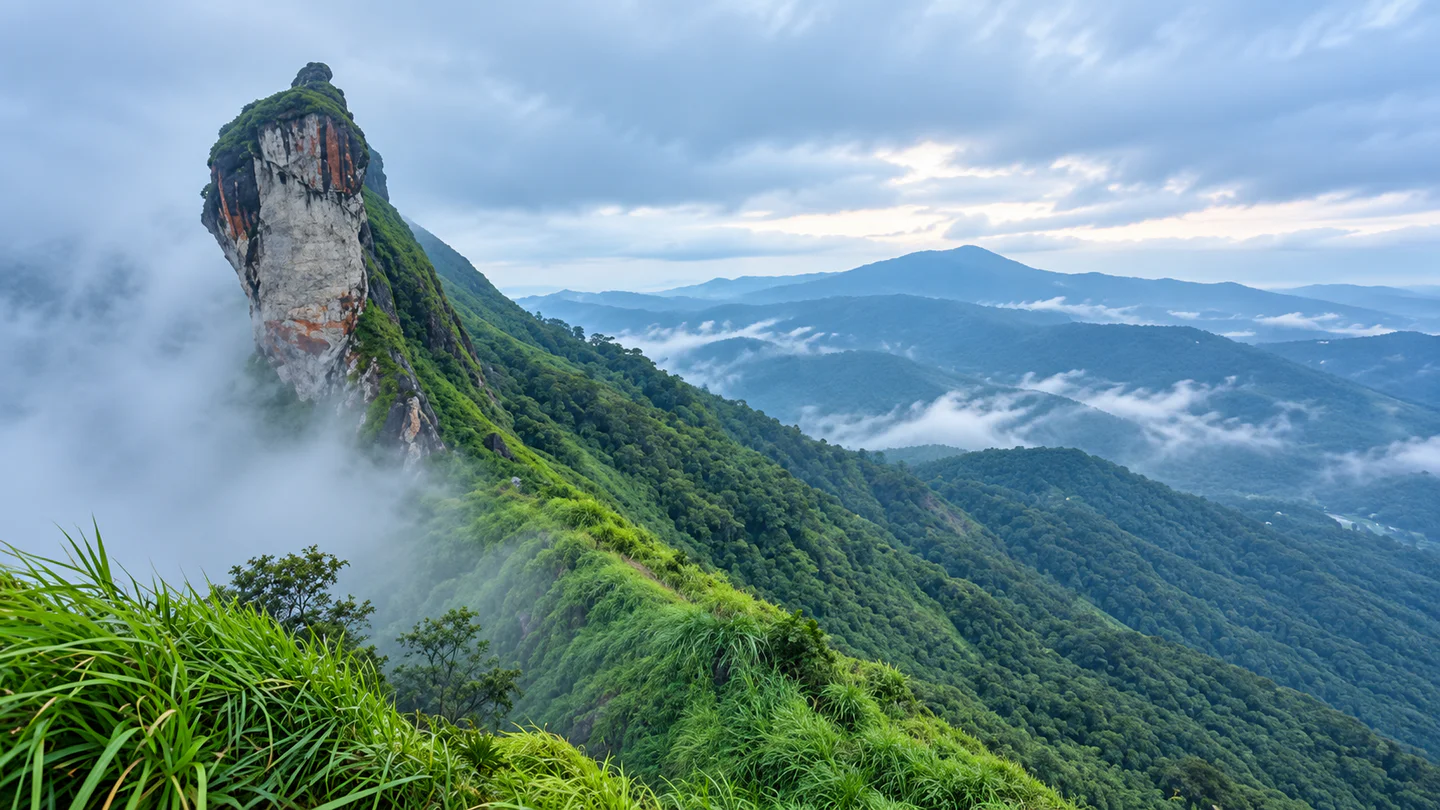
Nearby viewpoints and elevated roads open across plantations, wooded ridges and scattered settlement. Stop only where parking is clearly safe and permitted.

A quieter overnight base

The surrounding area has published stays within a short radius, allowing an early start without rushing from a distant city. Confirm food, transport and check-in arrangements directly with the property.

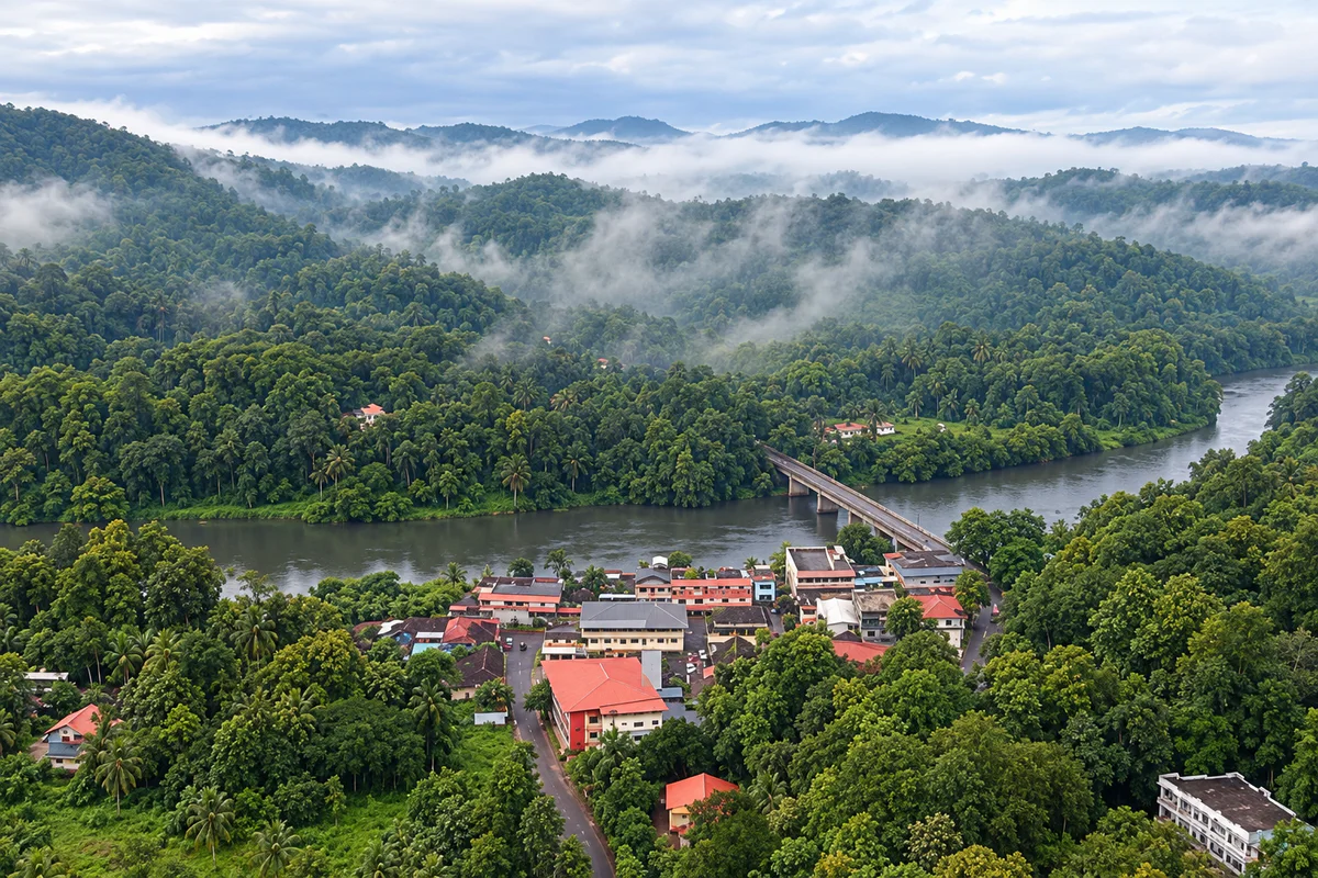
Misty aerial landscape of Athikkayam beside the river and bridge
Misty aerial landscape of Athikkayam beside the river and bridge — AI-assisted editorial reconstruction from a user-supplied reference

Places nearby

Places to visit near Athikkayam

Use the verified destination notes and nearby place guides to plan a practical route.

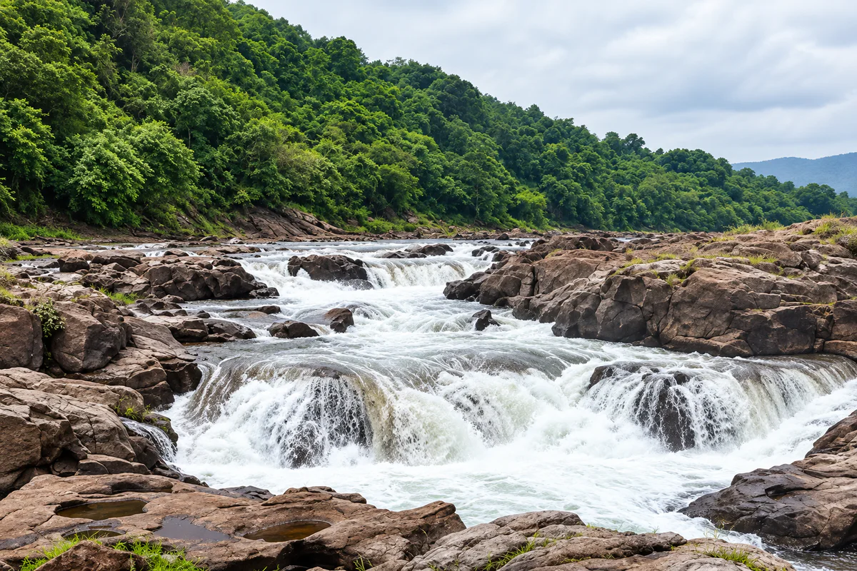
Rocky cascades at Perunthenaruvi near Athikkayam
Rocky cascades at Perunthenaruvi near Athikkayam — AI-assisted editorial reconstruction from a user-supplied reference

Planning notes for places near Athikkayam

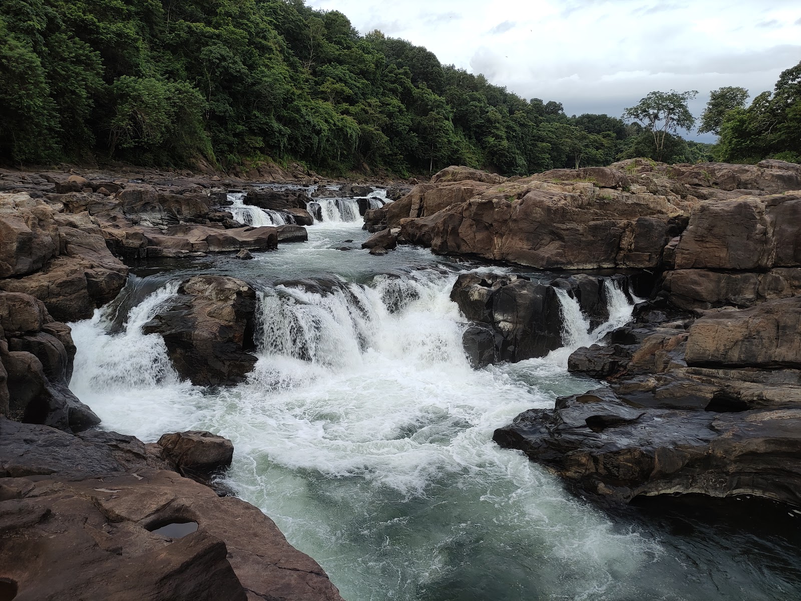
Athikkayam river landscape

Enjoy the valley from public roads, bridges and clearly accessible areas. Riverbanks and exposed rocks are not automatically safe recreation zones, particularly after rain or an upstream release.

Perunthenaruvi Waterfalls

The main researched excursion from Athikkayam. Kerala Tourism describes broad rocky cascades in the forested Pamba landscape, while DTPC currently lists managed visiting hours and entry fees. Verify both before departure.

Panampara Viewpoint

A nearby published Hopnest place record with broad hill views. Treat it as a simple local viewpoint: confirm the final road and avoid exposed edges in rain, mist or strong wind.

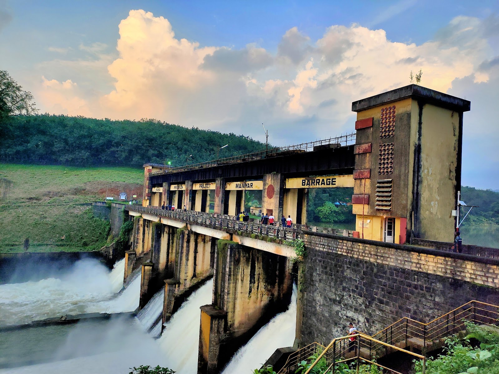
Maniyar landscape

The reservoir and barrage corridor adds a contrasting water-and-hills scene. It is working infrastructure, not an unrestricted recreation area; obey signs and keep away from gates, spillways and controlled zones.

Nearby cards use published Hopnest records within the wider area. Distances are straight-line references, not driving times.

Things to do

Simple experiences, planned responsibly

Follow the river-and-hills route

Allow time for the changing landscape rather than treating the drive as a race between attractions. Use proper lay-bys or designated parking for photographs.

Visit Perunthenaruvi

Go during official operating hours and follow site staff and barriers. Observe the falls from managed areas; do not assume calm-looking pools or rock shelves are safe.

Photograph the valley

Morning light and post-rain clarity can reveal layered ridges, bridges and river bends. Keep tripods and groups clear of traffic and private entrances.

Stay locally

An overnight stay can turn the trip into a slower village-and-waterfall itinerary. Confirm meals, mobile coverage, transport and late arrival policy in advance.

Best time to visit

Choose safe water conditions, not just dramatic flow

Post-monsoon and winter

Greener slopes and more comfortable temperatures can suit road trips and viewpoints. Water may still be powerful, so follow current site restrictions.

Summer

Lower water can reveal more of the rocky riverbed and make road travel simpler, though afternoons may be hot. Carry drinking water and avoid treating exposed channels as safe shortcuts.

Monsoon

The landscape is at its most dramatic, but heavy rain increases the risk of flash flow, slippery rock, falling branches and road disruption. Check district warnings and postpone when alerts or local restrictions are active.

Time of day

Start in daylight and leave generous time for the return. Early morning often offers softer light; late waterfall arrivals can create pressure to rush on unfamiliar roads.

A simple plan

A flexible Athikkayam day

Morning — Begin with the valley

Start after checking rain, district alerts and the current status of Perunthenaruvi. Pause only at a safe public viewpoint or bridge approach; do not stop on blind bends.

Late morning — Continue to Perunthenaruvi

Follow the Ranni–Athikkayam–Kudamurutty approach and the latest local directions. Pay any current entry fee at the authorised counter and remain within managed visitor areas.

Lunch — Return towards Athikkayam or Ranni

Use a verified local restaurant or pre-arranged meal at your stay. Do not depend on a particular outlet being open without confirmation.

Afternoon — Choose one additional stop

Visit a verified viewpoint or take a careful drive towards the Maniyar landscape only if weather and daylight remain favourable. One well-paced extension is better than several rushed detours.

Evening — Settle in before dark

Return to your stay or continue to Ranni while roads are still easy to read. This sequence is a planning framework, not a timed tour.

How to reach

Plan the town connection and highland road separately

By road

Ranni is the practical town reference for the area. DTPC identifies Ranni–Athikkayam–Kudamurutty as the main route onward to Perunthenaruvi. Expect bends, local traffic and slower journey times than a map distance may suggest.

By bus

Local services connect settlements around Ranni, but frequency and the final connection can vary. Confirm the current bus and return option locally rather than relying on a fixed online timetable.

By train

Chengannur and Thiruvalla are the principal rail references used by official tourism pages for the wider Perunthenaruvi area. Continue by confirmed bus, taxi or pre-arranged pickup.

By air

Thiruvananthapuram International Airport is the airport reference used by DTPC for Perunthenaruvi. Cochin International Airport may also be practical depending on the wider itinerary; compare actual road time before booking.

Open Athikkayam in Google Maps

Plan well

Prepare for a rural, weather-dependent trip

Confirm current waterfall details

DTPC currently publishes hours, a Tuesday closure and adult/child fees for Perunthenaruvi. Treat these as a planning reference and reconfirm before travel because operations can change.

Carry essentials

Bring water, sun and rain protection, personal medication, footwear with grip and a charged phone. Mobile coverage may vary along forested stretches.

Fuel and cash

Refuel before the quieter roads and keep a modest cash backup for small outlets or offline ticketing. Do not assume card or mobile payments will work everywhere.

Accessibility

Ask the relevant site or accommodation about walking distance, steps, toilets, seating and vehicle access. Rocky and sloping terrain may not suit every visitor.

Respect the village

Keep gateways, bridges and narrow roads clear. Ask before photographing people, homes or working land, and carry all waste back.

Safety first

Water, rock and working infrastructure demand caution

Stay out of fast water

Do not enter cascades, channels or pools based on appearance. Current, submerged rock and sudden level changes may not be visible from the bank.

Check official alerts

Pathanamthitta district regularly publishes heavy-rain and dam or barrage opening notices. Recheck on the day and follow police, disaster-management, forest and site instructions.

Keep away from restricted infrastructure

Never approach spillways, gates, power structures or fenced zones. Sirens, barriers and staff directions require immediate compliance.

Protect your footing

Wet rock can remain slippery after rain. Use grippy footwear, keep children close and do not cross barriers for photographs.

Drive defensively

Use a roadworthy vehicle, slow before bends and allow buses and local vehicles room to pass. Avoid roadside stops where visibility is poor.

Keep a fallback plan

If the falls close or rain intensifies, return to Ranni or your stay rather than searching for an informal river access point.

Useful answers

Questions about visiting Athikkayam

What is Athikkayam known for?

It is a village in the Ranni highlands with river-valley scenery and a key road connection towards Perunthenaruvi Waterfalls.

Is Athikkayam itself a ticketed attraction?

No. It is a lived-in village and landscape, not a single managed attraction. Individual nearby sites may have their own rules, hours and fees.

How long should I stay?

A full day suits the valley and one principal excursion. Staying overnight gives more flexibility for weather and an early start.

What is the main nearby attraction?

Perunthenaruvi Waterfalls is the strongest officially documented excursion. DTPC identifies the approach through Athikkayam and Kudamurutty.

What are the Perunthenaruvi opening hours and fees?

DTPC currently lists 9:30 AM to 5:00 PM, a Tuesday holiday, and separate adult and child fees. Verify the latest details before travelling.

Can I swim in the river or waterfall?

Do not assume swimming is allowed or safe. Follow current staff instructions and remain outside fast water, restricted pools and slippery rock zones.

Is monsoon the best time?

Monsoon brings dramatic water and greenery but also the highest safety and access risk. Travel only when official alerts and local conditions allow.

Are nearby distances driving distances?

No. Hopnest nearby listings use straight-line coordinates. River crossings, winding roads and local access can make driving routes considerably longer.

Stay near Athikkayam

Find a nearby stay

Spend less time travelling and keep more time for the destination.

View all nearby stays