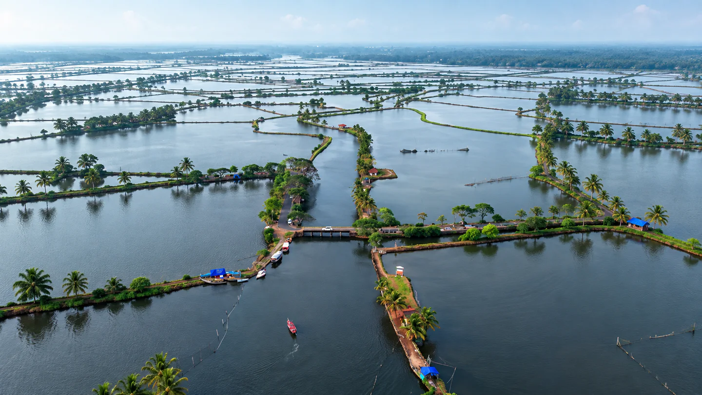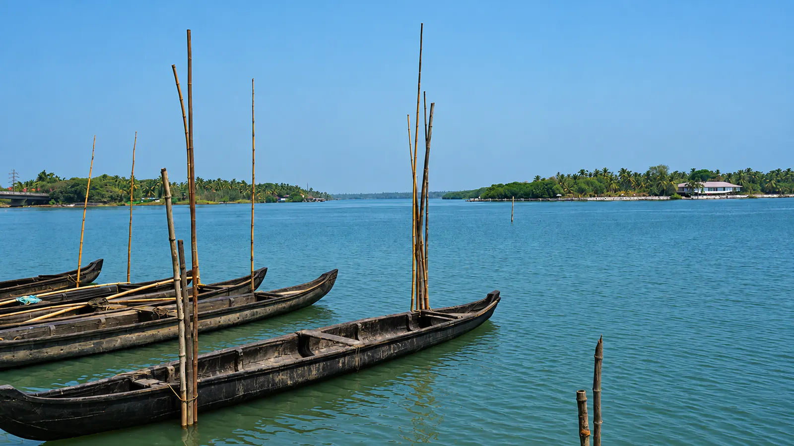
Traditional narrow boats moored on the Chettuva backwaters

Thrissur · Kerala destination

Chettuva

Chettuva is a waterside destination in Kerala’s Thrissur district, where backwaters, mangrove islets and the estuary create a quieter alternative to a packed sightseeing day. Small-boat outings, bridge views and nearby coastal stops are the main reasons to visit.

BackwaterMangroveEstuaryBoatingBirdwatching

Discover Chettuva

Understanding Chettuva before you book

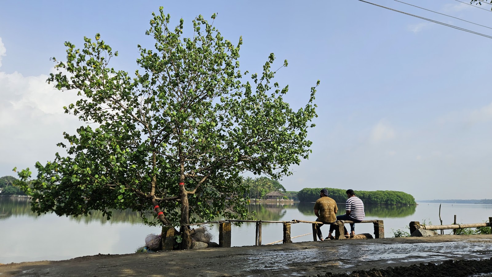
Chettuva’s appeal comes from the transition between inland water and the sea. Kerala Tourism describes a backwater system running from the Enamakkal side towards the Chettuva estuary, with mangrove islands, Chinese fishing nets and birdlife along the way. The Canoli Canal links the Chettuva and Enamavu waters, giving the wider area more than one useful starting point.

For planning, separate the destination into three experiences: the backwater channels, the estuary and bridge area, and the beaches farther along the coast. They can fit into one unhurried trip, but they are not the same stop. A boat operator may also use a landing away from the Chettuva map pin.

Use Hopnest’s nearby stays as a shortlist, then confirm the property’s final approach, meal options and transfer to your selected boarding point. Coordinate distance is useful for discovery; water crossings and road layout can make the actual journey longer.
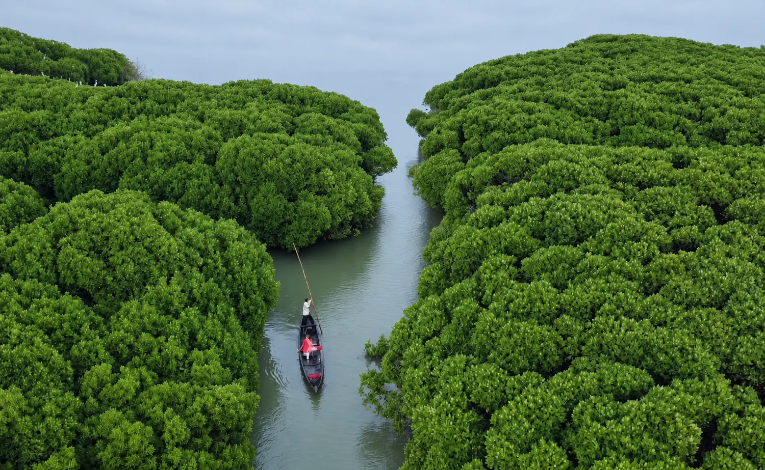
A small canoe moving along a narrow channel between dense mangroves
A small canoe moving through a mangrove channel

Why Chettuva

Why make time for Chettuva?

Backwater-to-sea landscape

See calm channels, mangrove edges and the wider estuary within one compact coastal area.

A slower boat outing

A small boat or shikara-style trip can reveal details that are easy to miss from the road. The exact craft and route depend on the current operator.

Mangrove habitat

The islands and banks support a rich wetland setting. Observe from a respectful distance and do not enter fragile vegetation.

Local life on the water

Fishing activity, nets and waterside livelihoods form part of the landscape. Watch without interrupting work or treating people as staged attractions.

Easy coastal pairing

If conditions and daylight allow, add one nearby beach or estuary viewpoint instead of collecting several similar stops.

Places nearby

Places to visit, grouped into a simple route

Use the verified destination notes and nearby place guides to plan a practical route.

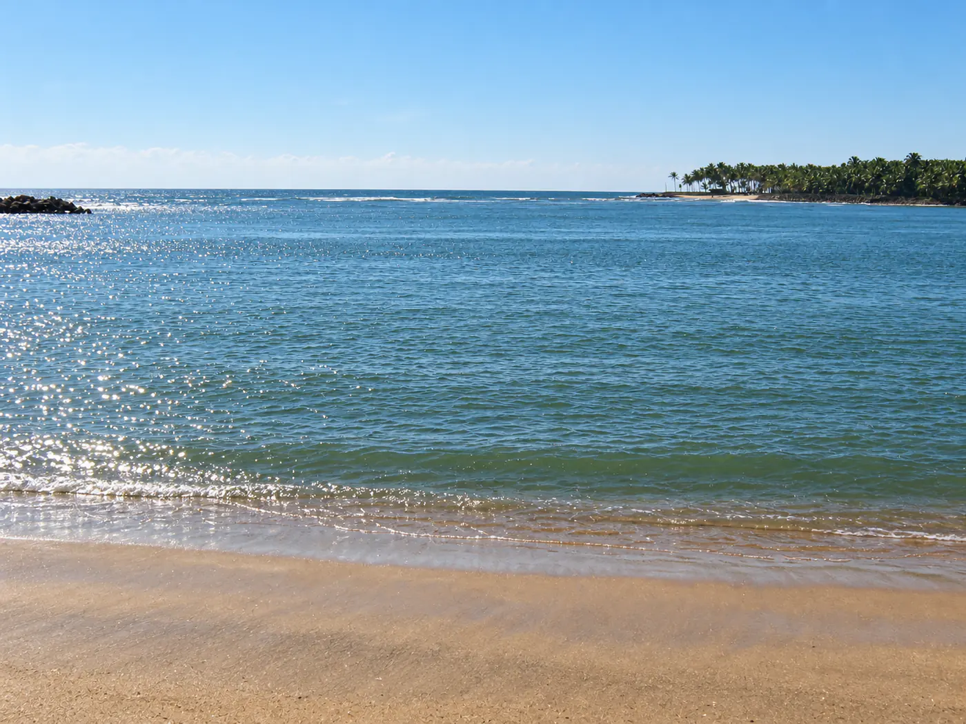
A calm estuary opening towards the sea with coconut palms along the distant shore
The estuary opening towards the Kerala coast

Planning notes for places near Chettuva

Chettuva backwaters

Make the water the centre of the trip. Arrange an outing from a currently operating landing and ask whether the route includes mangrove channels, open backwater and estuary views. Do not assume every advertised boat follows the same circuit.

Chettuva Bridge and estuary

The bridge area gives an accessible overview of the waterway and is useful around softer morning or evening light. Stop only where parking and pedestrian access are safe; the bridge itself is a transport route, not a viewing platform everywhere.

Munakakkadavu Azhimukham

This estuary-side stop shows the transition towards the sea. Conditions near river mouths can be unpredictable, so stay on established public areas and do not enter the water based on appearance alone.

Chettuva Fort

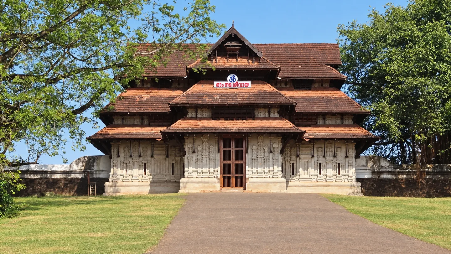
Kerala Tourism identifies the surviving island fort as a Dutch-built structure later associated with Tipu Sultan. Treat it as a heritage extension rather than a guaranteed walk-in attraction: verify present access, landing arrangements and local permission before setting out.

Enamavu extension

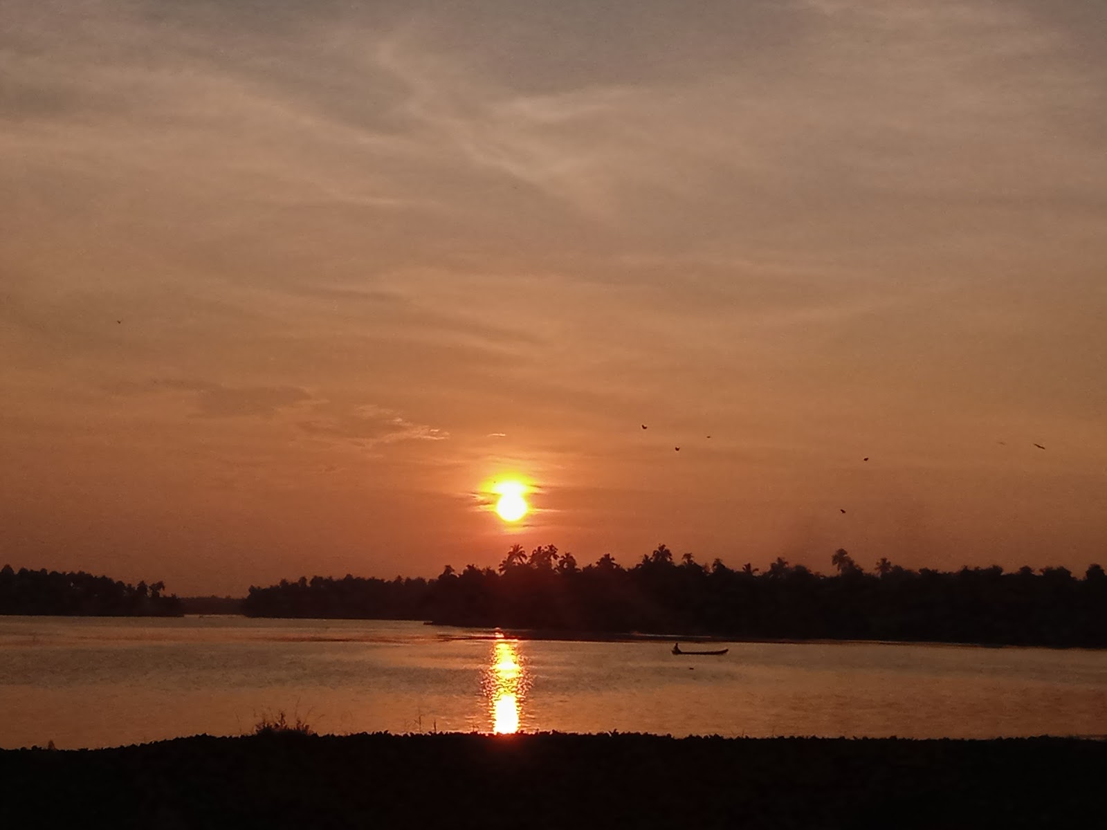
The Enamavu side offers another view of the connected lake-and-backwater landscape. Add it when your route or stay makes it convenient; it is not necessary to cross the whole region for a second similar sunset stop.

One coastal stop

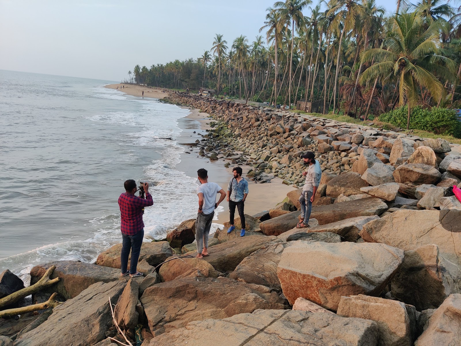
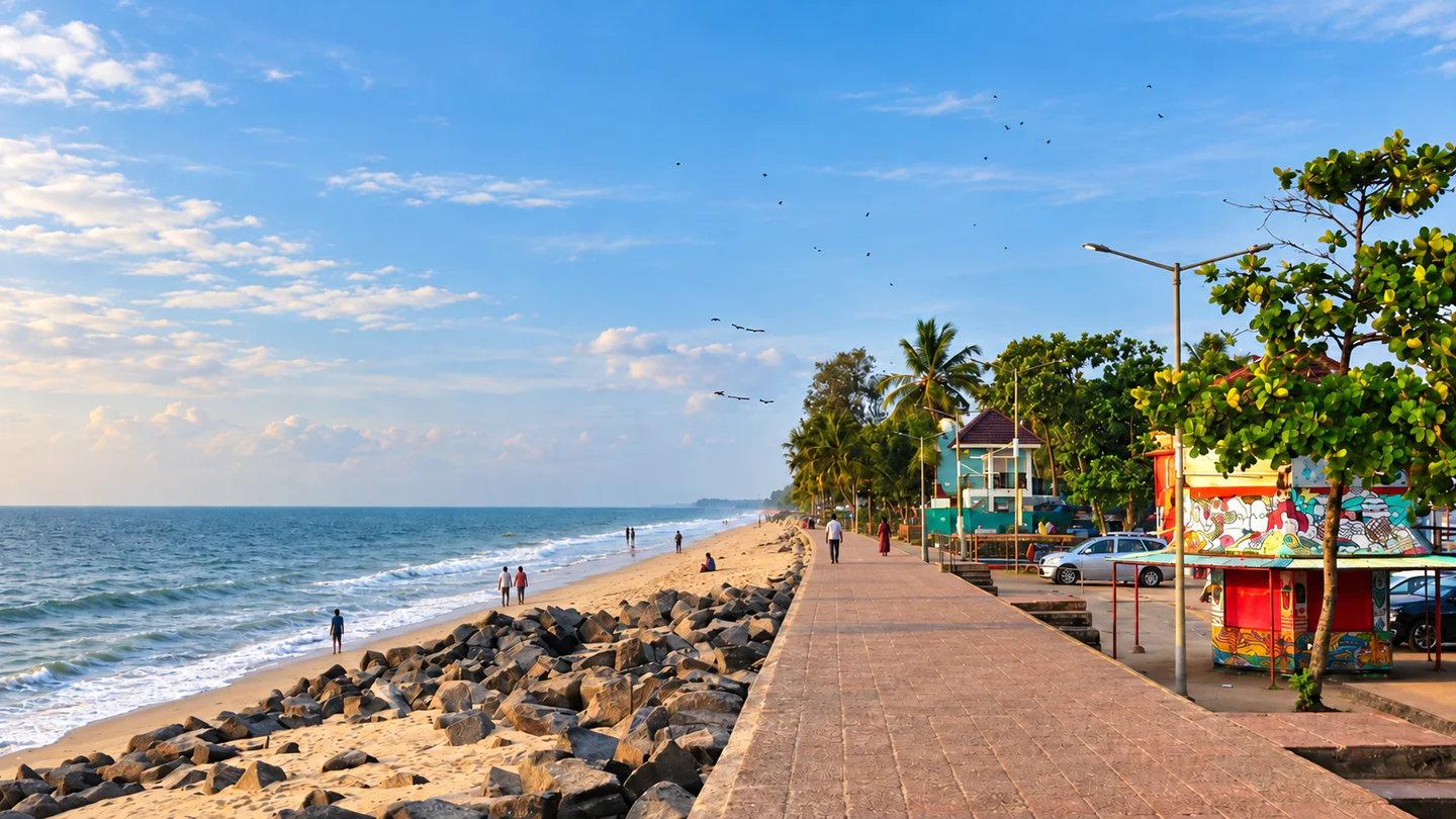
Choose Chavakkad, Vadanappally or Thalikulam/Snehatheeram according to your onward route. Beach access, lifeguard presence and sea conditions vary, so keep the visit land-based unless swimming is explicitly permitted and supervised.

Things to do

Things to do without overfilling the day

Take a verified boat trip

Ask for the boat type, boarding pin, route, duration, passenger limit, lifejackets and total cost before arrival. Avoid informal departures that do not provide basic safety equipment.

Watch for birds quietly

Early light can be rewarding, but sightings are never guaranteed. Keep noise low and avoid approaching nests or resting birds.

Photograph the water responsibly

Use safe pull-offs and ask before photographing working fishers or private homes. Keep drones grounded unless the operator and local rules clearly permit them.

Pair backwater and coast

Finish with one beach or estuary view if weather and daylight are suitable. More stops do not necessarily make a better trip.

Try local food with flexibility

Ask your stay or operator where meals are reliably available. Do not plan a tight boat connection around an unverified restaurant opening time.

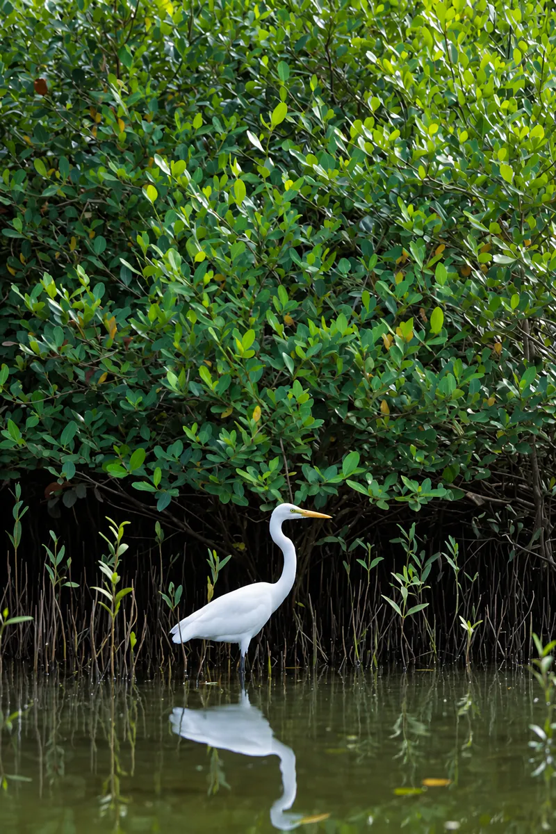
A white egret standing in shallow water beside dense mangrove foliage
A white egret at the edge of the mangroves

Best time to visit

Best time to visit Chettuva

October to March

Usually the easiest period for a first coastal and backwater visit, with more comfortable outdoor conditions. Weekends and holidays can still be busier, and individual boat services require confirmation.

April and May

Expect stronger heat and humidity. Plan water outings earlier, carry drinking water and leave the middle of the day flexible.

June to September

Monsoon rain can change visibility, water conditions and boat availability. Coastal operators may suspend activities during strong tides, rough-sea alerts or severe weather. Follow current local advice rather than a fixed seasonal promise.

For photography and birdwatching, light, tide and local disturbance matter as much as the month.

Ask the operator what the route is like on your date instead of expecting a particular scene.

A simple plan

A relaxed one-day or overnight Chettuva plan

Morning — Start on the water

Meet a verified operator at the confirmed landing. Take a backwater route suited to current conditions and leave time for the mangrove landscape rather than asking for the fastest circuit.

Midday — Pause, eat and reset

Return to your stay or a confirmed meal stop. Avoid filling the hottest hours with exposed bridge or beach visits.

Late afternoon — Choose one land route

Visit the Chettuva Bridge and estuary side, or continue to Enamavu if it fits your onward direction. Add only one coastal stop for the evening.

Overnight option — Separate the experiences

Arrive on the first afternoon for the estuary or beach, stay nearby, and take the boat the next morning. This gives you a weather buffer and avoids travelling immediately after dark.

How to reach

How to reach Chettuva and your stay

Road

Chettuva sits on the Thrissur coast, about 10 km south of Guruvayur in Kerala Tourism’s visitor guidance. Use the exact pin for your stay or boat landing; the destination centre may not be your boarding point.

Rail

Guruvayur is the nearest commonly cited rail gateway, approximately 8–10 km away across official tourism references. Thrissur is a larger rail gateway farther inland. Check current trains and arrange the last road transfer in advance.

Air

Cochin International Airport is the principal airport gateway. Official references place it approximately 70–76 km from Chettuva. Travel time depends on the coastal route and traffic, not distance alone.

Bus

Services connect the wider Guruvayur, Chavakkad and Thrissur area. Verify the current stop and final connection, especially for an early boat departure or a late return.

Local travel

An auto-rickshaw or pre-arranged car can connect stays, landings and nearby coastal stops. Agree on pickup, waiting time and the return journey before entering a boat.

Open Chettuva in Google Maps

Plan well

Where to stay and how to plan well

Chettuva and Engandiyur

Consider this area when proximity to the water and a quieter local setting matter most. Confirm meals, road access and the distance to your actual boat landing.

Chavakkad and Guruvayur

These can be practical bases for broader transport and dining options. They may add a road transfer to the backwater, so compare the real route rather than the locality name.

Vadanappally and Thalikulam side

Consider this stretch when a coastal stop or onward journey towards Thrissur is part of the plan.

Before paying

Confirm the room type, cancellation terms, meals, parking, check-in time and any boat or transfer charge directly with the stay. A waterside photograph does not establish private water access.

What to carry

Sun protection, drinking water, insect repellent, a light rain layer and footwear that can handle damp landings. Protect phones and documents from spray.

Accessibility

Ask about steps, boat boarding height, handrails and toilet access. A calm water surface does not make every craft or landing accessible.

Safety first

Explore the backwaters responsibly

Boat safety

Wear the provided lifejacket throughout the ride. Do not exceed the operator’s passenger limit or move suddenly in a small craft.

Weather and tides

Postpone the trip when the operator or authorities warn of strong wind, heavy rain, rough water or poor visibility. Do not pressure a crew to depart to protect an itinerary.

Estuary and beach

River mouths can have strong currents and changing depths. Stay out of the water unless the area is officially open, conditions are suitable and supervision is present.

Mangroves and wildlife

Do not break branches, enter nesting areas, feed birds or leave litter. Keep your distance and accept that sightings are not guaranteed.

Roadside viewpoints

Park completely away from moving traffic and do not stand on a narrow bridge edge for photographs.

Return plan

Save the operator’s and stay’s contact details, share your route with someone, and agree on the landing and pickup point before departure.

Useful answers

Chettuva travel FAQs

How much time do I need in Chettuva?

One full day is enough for a boat outing and one estuary or beach stop. Stay overnight if you want an unhurried evening and an early start on the water.

Is Chettuva mainly a beach destination?

No. Its strongest identity is the connected backwater, mangrove and estuary landscape. Nearby beaches work best as an optional addition.

Can I book a boat after arriving?

You may find local options, but availability, landing points and safety standards vary. Confirm a current operator, price, route and lifejackets before travelling.

Where should I stay for the backwaters?

Choose by the exact map pin and transfer to your boat landing. Chettuva or Engandiyur can suit a waterside break; Chavakkad or Guruvayur may offer broader transport and meal choices.

Is Chettuva Fort always accessible?

Do not assume so. It is an island heritage site, and current access may depend on a boat, local conditions and permission. Verify before making a special journey.

Is it safe to swim near the estuary or beaches?

Do not enter the water based only on calm appearance. Currents, tides and local warnings can change; swim only where it is permitted and supervised.

Are bird sightings guaranteed?

No. Season, tide, time of day and disturbance all affect sightings. Treat wildlife as a possibility, not a promised attraction.

Do nearby-stay distances mean driving distance?

No. Hopnest’s nearby discovery uses coordinates. Confirm the road route, water crossings and final approach directly with the property.

Stay near Chettuva

Find a nearby stay

Spend less time travelling and keep more time for the destination.

View all nearby stays