Ilaveezhapoonchira hills and valley — AI-enhanced photograph

Kottayam · Kerala destination

Ilaveezhapoonchira

Plan an Ilaveezhapoonchira trip with hill views, nearby stays and a practical route through the Kottayam highlands. Choose a clear-weather outing and leave time to enjoy the landscape.

MountainsViewpointNature

Discover Ilaveezhapoonchira

Wide skies. A little room to slow down.

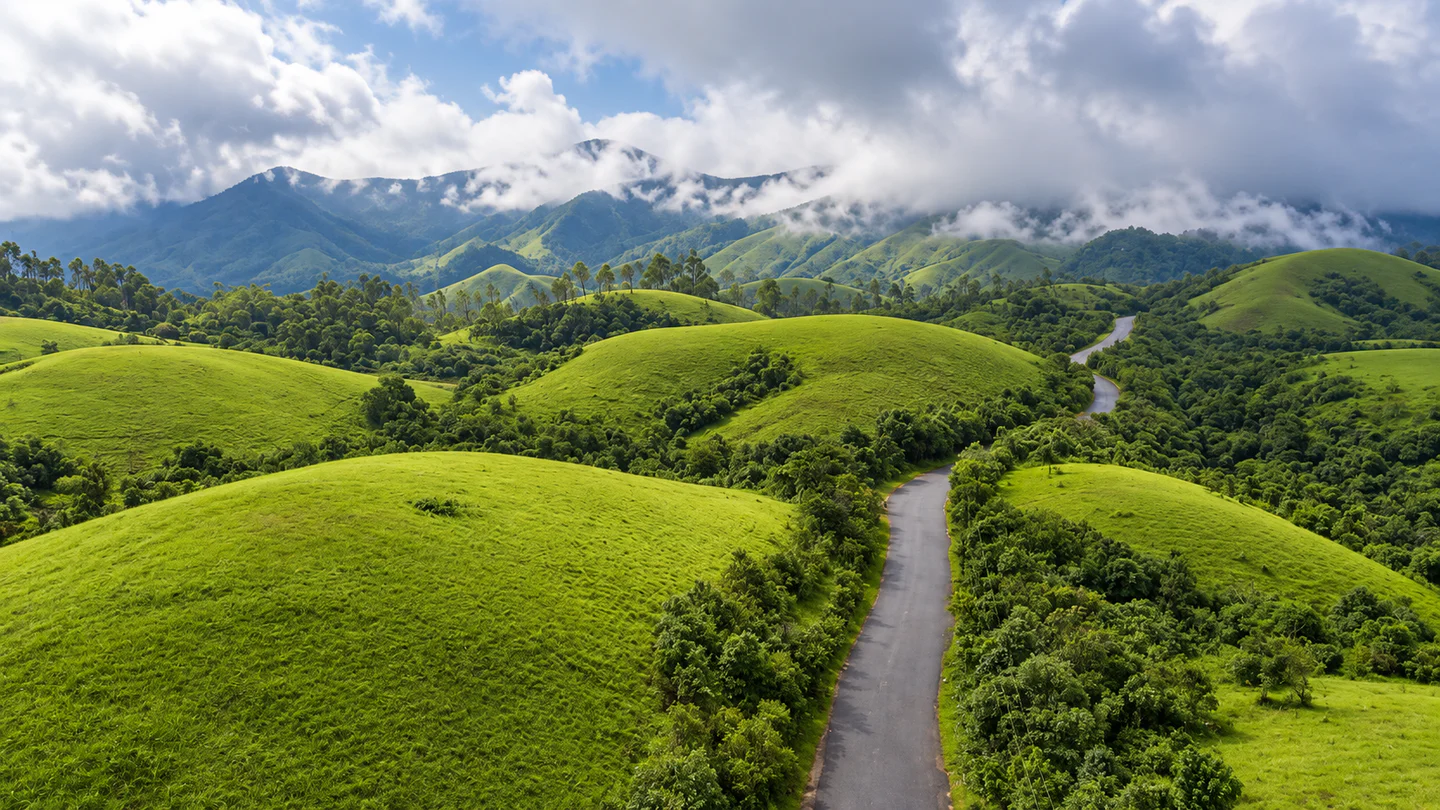
Ilaveezhapoonchira is a hill-and-valley destination near Melukavu Mattom in Kottayam. Open slopes and long views are the attraction here: choose a small number of stops and give the landscape time, rather than treating the visit as a race between map pins.

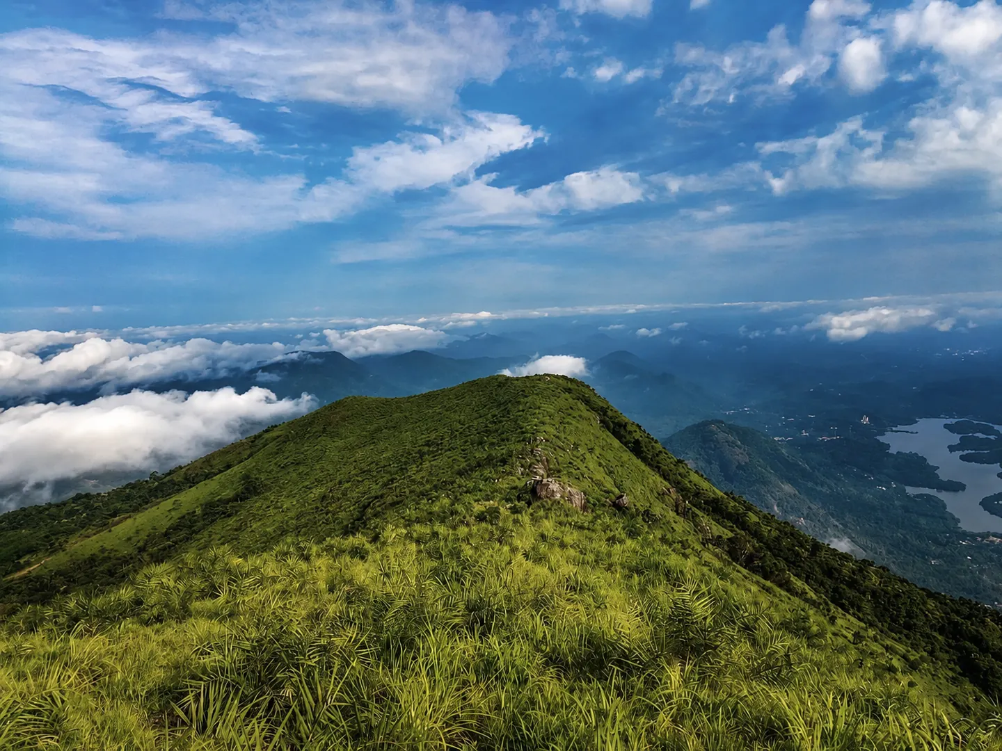
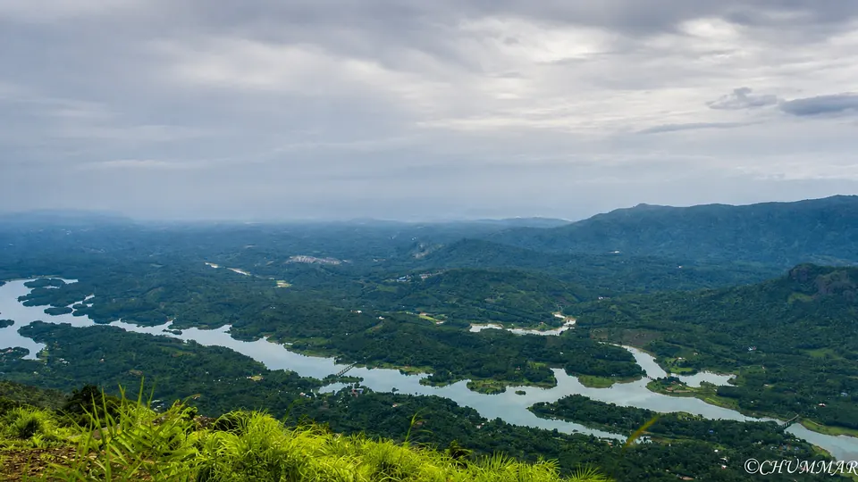
Kerala Tourism describes three surrounding hillocks and views towards the Malankara reservoir. Cloud and visibility affect what you can actually see. Sunrise and sunset are part of the destination's appeal, but entry arrangements and a safe return journey should decide your timing.

Staying nearby can make the outing easier to pace. Check the property's approach road and its driving route to the visitor area before booking; the closest pin is not always the simplest journey.
Why Ilaveezhapoonchira

A hill escape built around the view

Come for an unhurried outdoor break, with a nearby stay as your base.

Open landscapes

Spend time looking across the valley instead of adding too many stops. A clear day can feel very different from a misty one.

Photography at your pace

Allow time to find an authorised viewing spot and let the light change. A photograph is never worth stepping past a barrier.

An overnight alternative

Arrive at your accommodation first, confirm local conditions and plan the hill visit around the weather.

A flexible second stop

Consider Illikkal Kallu or Malankara Dam if time and access allow. Choose the option that fits your onward route.

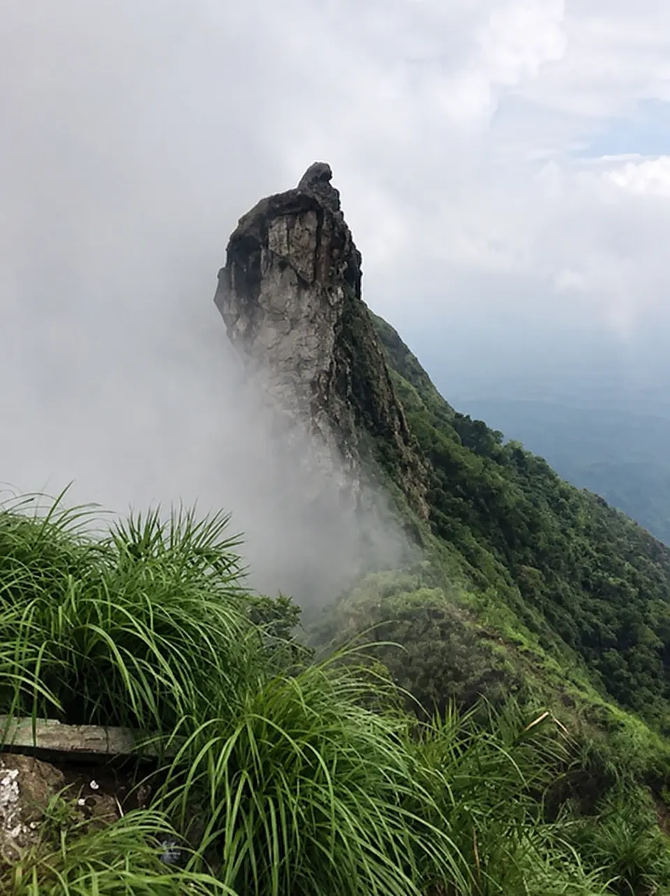
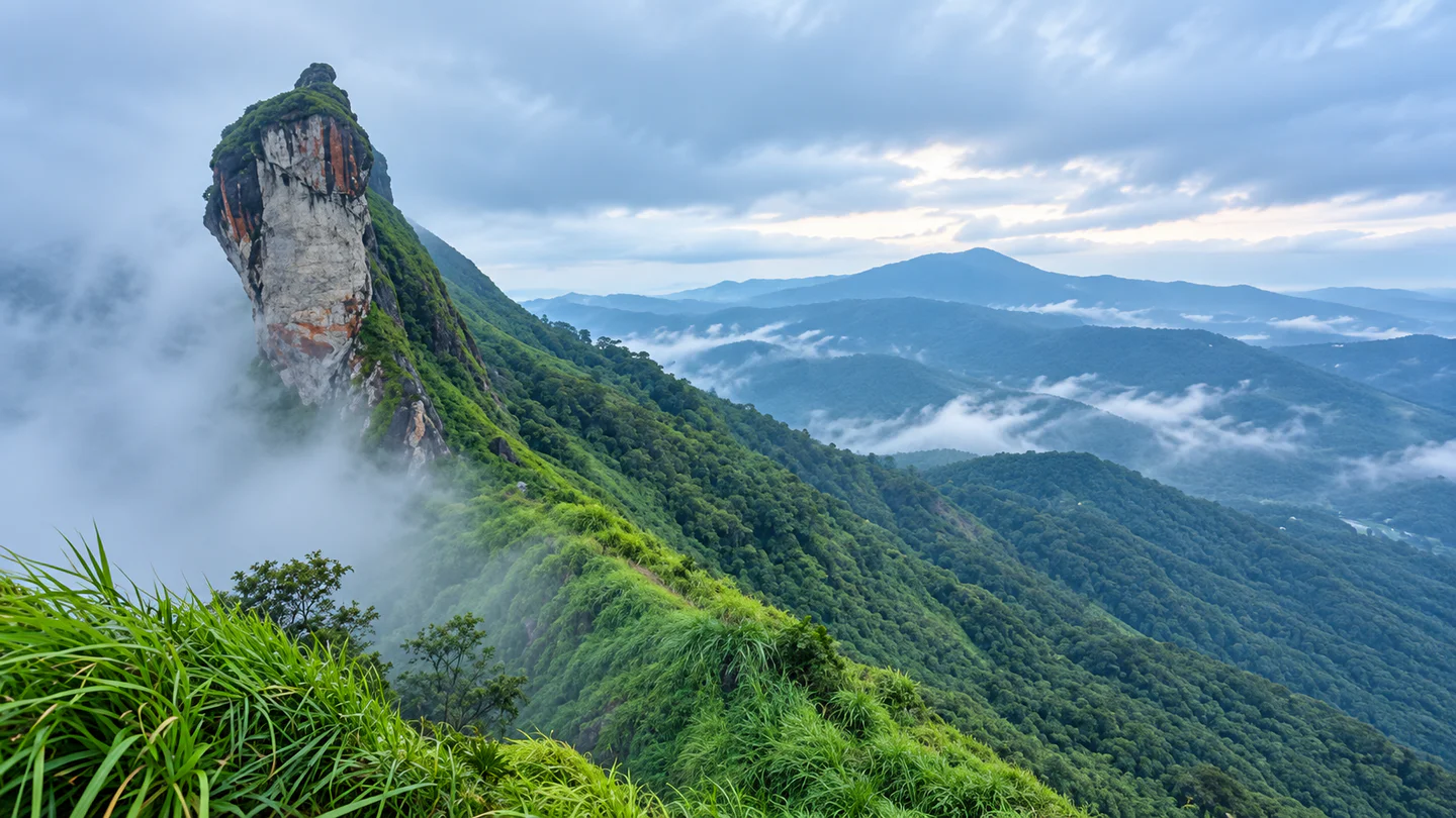
Valley views from Ilaveezhapoonchira — ©CHUMMAR. AI-enhanced photograph.

Places nearby

Places to explore around Ilaveezhapoonchira

Use the verified destination notes and nearby place guides to plan a practical route.

Planning notes for places near Ilaveezhapoonchira

Ilaveezhapoonchira visitor area

Make the main hill landscape the focus of your outing. Confirm the visitor entrance, permitted walking area and last-entry arrangements locally before travelling.

Illikkal Kallu

This is a separate hill viewpoint in Kottayam, not another name for Ilaveezhapoonchira. Keep to authorised visitor areas and check its access independently; do not plan an exposed ridge crossing from online descriptions.

Malankara Dam

Near Thodupuzha, the reservoir visitor area offers a different setting from the hills. Kerala Tourism describes walking tracks and a children's park. Confirm current access and facilities; do not assume that boating is operating.

Kolaani Hill

Nearby search results include this name, but current access and the permitted route need local verification. Treat it as an optional enquiry, not a promised stop or an approved unrestricted trek.

The wider nearby list is a discovery tool. Read each place's access notes and compare the actual road journey before adding it to your day.

Things to do

Make time for the hills

Scenic viewing

Choose an authorised viewpoint and enjoy the changing light across the slopes. Keep the plan short enough to leave without rushing.

A permitted walk

Ask about the current walking route, surface and effort before setting out. Choose a route your whole group can comfortably manage.

Landscape photography

Carry only what you can manage securely, stay back from edges and avoid blocking paths or vehicle access.

A reservoir-side outing

Consider Malankara's visitor area as a separate stop if it suits your travel route. Check facilities before relying on them for a family break.

Time at your stay

Ask your host about meals and locally arranged activities. Leave room in the day to enjoy the property rather than spending every hour travelling.

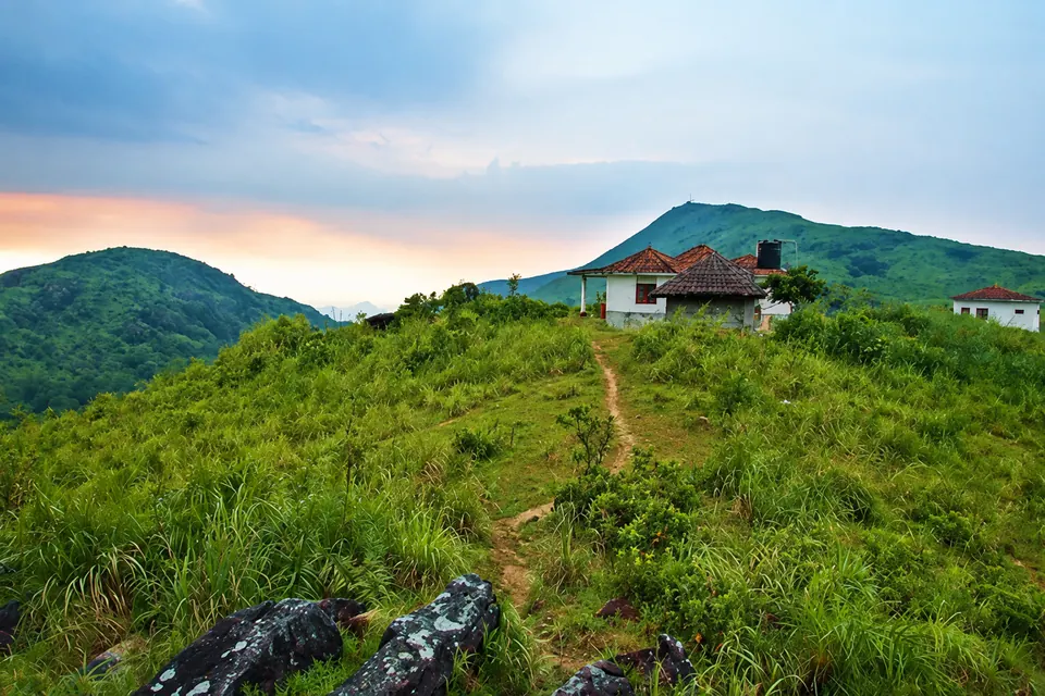
Hill landscape and path — AI-enhanced photograph; confirm visitor access locally.

Best time to visit

Choose the conditions, not just the month

Clear, settled weather

Prioritise visibility and confirmed access when choosing a date. Check the forecast close to departure and keep a fallback plan.

Monsoon scenery

Official tourism descriptions highlight the rain-fed landscape, but that is not an assurance that a hill outing is suitable during heavy rain. Follow local warnings and closures.

Warm or exposed conditions

Carry water and sun protection. Adjust your time outdoors to the conditions and the needs of your group.

A simple plan

One hill outing. Time to enjoy it.

Morning — Check and set out

Confirm weather, access and your return transport before leaving your stay. Carry water and allow extra time for the final approach.

Main outing — Ilaveezhapoonchira

Spend time in the permitted visitor area, with a short walk only if the route and conditions suit your group. Leave if visibility or weather deteriorates.

Later — Choose one extra stop

After a meal, consider Illikkal Kallu or Malankara Dam only if there is enough daylight and the onward route makes sense. Otherwise return to your stay.

For an overnight trip

Arrive the previous afternoon, settle in and arrange the next day's transport with your host. Do not assume early-morning entry is available.

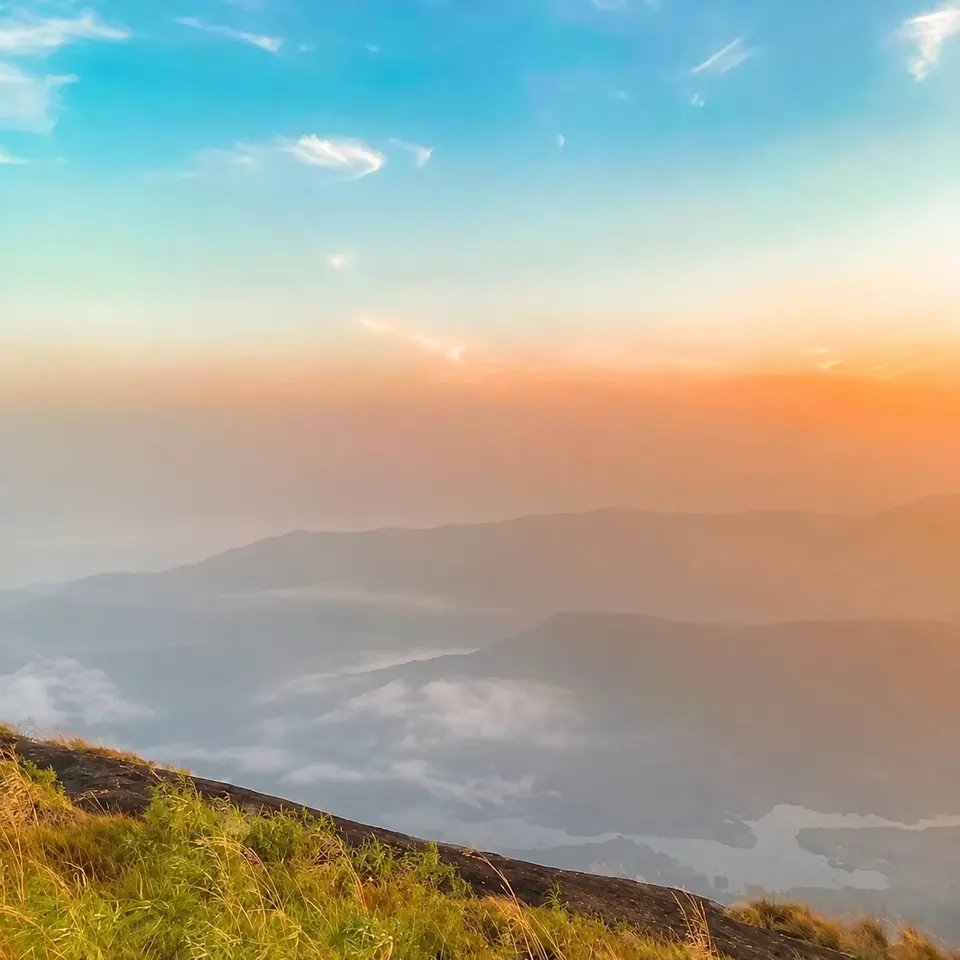
Evening light over the hills — AI-edited photograph; people removed.

How to reach

Plan the final approach before you leave

By road

Pala and Thodupuzha are useful approach towns, with Melukavu Mattom as a local planning reference. Official guides give roughly 55–60 km from Kottayam and about 20 km from Thodupuzha; these are broad destination estimates, not distances to every stay or entrance.

By train

Kottayam is the railway gateway listed by the district administration, approximately 55 km from the destination. Arrange the onward road journey separately.

By air

Cochin International Airport is the airport identified in the tourism guidance. Compare the transfer to your actual accommodation rather than relying on a generic destination estimate.

By bus

Check current connections towards your chosen approach town and the final local connection with the operator. Do not assume a scheduled bus reaches the viewpoint itself.

Open Ilaveezhapoonchira in Google Maps

Plan well

Small checks for an easier trip

Choose a useful stay

Compare road access, parking, meals and check-in times. Ask how long the drive to the visitor entrance normally takes.

Pack for the outing

Bring drinking water, suitable footwear, sun or rain protection and personal essentials. Keep your route and booking details available offline.

Check costs locally

Verify entry charges, parking and any transfer price before committing. Agree on the full fare and return arrangement with the operator.

Match the route to your group

Ask about walking distance, steep sections and places to rest if travelling with children or anyone needing easier access.

Read distance labels carefully

Hopnest's nearby lists compare coordinates within 20 km. Hills and road connections can make the driving journey much longer.

Safety first

Enjoy the view with care

Weather first

Follow official rain and wind warnings. Postpone exposed hill outings during severe weather instead of trying to complete the itinerary.

Lightning

Check current thunderstorm guidance before travelling. Do not remain on an exposed hilltop when a storm threatens; plan access to proper shelter in advance.

Edges and visibility

Stay within barriers and permitted paths. Turn back if mist makes the route unclear, and keep children close near slopes.

Water and waterfalls

Do not enter reservoir water or treat a pool in a photograph as a swimming invitation. Avoid water-edge excursions during heavy rain.

Return safely

Allow enough daylight for the journey, tell your host your plan and confirm return transport before setting out. Follow instructions from staff and local authorities.

Useful answers

Questions about visiting Ilaveezhapoonchira

Where is Ilaveezhapoonchira?

It is near Melukavu Mattom in Kottayam district, Kerala. Use the map as a destination reference and confirm the actual visitor entrance or stay address.

How far is Ilaveezhapoonchira from Kottayam and Thodupuzha?

Official tourism guides give about 55–60 km from Kottayam and around 20 km from Thodupuzha. Your road distance depends on the starting point and entrance used.

Are there stays or homestays near Ilaveezhapoonchira?

Use the nearby-stays list to compare published properties within 20 km by coordinates. Check room availability, facilities and the actual driving route directly with the property.

Can I drive to the viewpoint, or do I need a jeep?

Confirm the current final-approach rules, road condition and parking arrangements locally. This guide does not assume that every vehicle can reach the same point or that a jeep service is always available.

Can I visit for sunrise or sunset?

These are well-known reasons to visit, but check permitted entry times and arrange a safe return. Do not assume access before daylight or after closing.

Is Illikkal Kallu the same place?

No. It is a separate viewpoint. Check its visitor arrangements and road journey before combining both in one day.

Can I add Kolaani Hill to the trip?

Ask locally about current permission and the route first. A nearby listing does not establish unrestricted access or a maintained walking trail.

How much is the entry fee?

Confirm the current fee, parking and any transfer charges with the local operator before travel. No unverified fixed prices are quoted here.

Is it suitable during heavy rain?

Follow official warnings and local closures. Choose another plan when conditions make hill or water-edge outings unsuitable.

Stay near Ilaveezhapoonchira

Find a nearby stay

Spend less time travelling and keep more time for the destination.

View all nearby stays