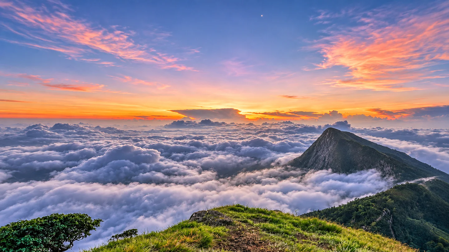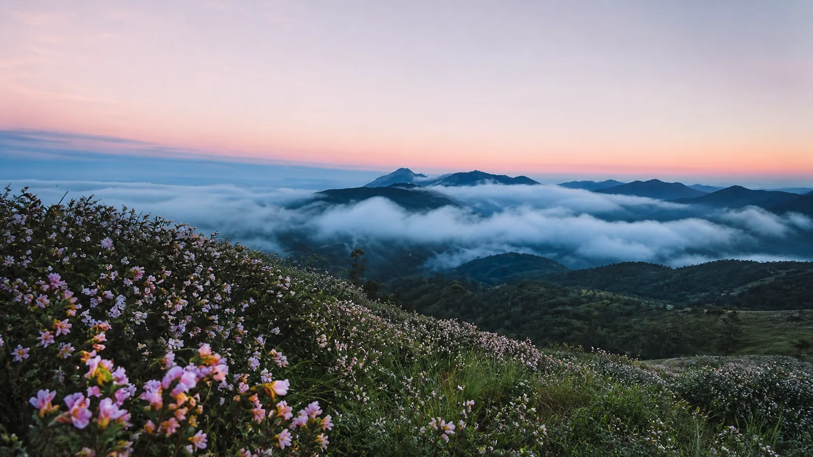
Pink wildflowers overlooking mist-filled mountain valleys near Pooppara at sunrise

Idukki · Kerala high ranges

Pooppara

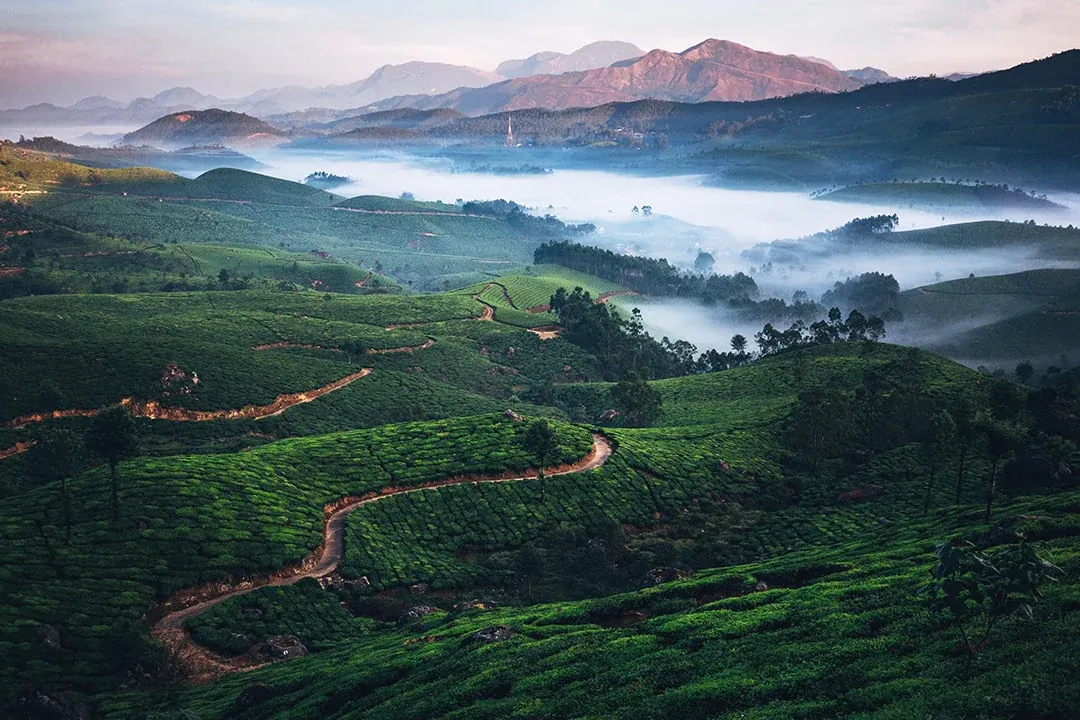
Pooppara, also spelled Poopara, is a small hill village in Idukki, Kerala. Tea farms and green hills surround the village. NH 85 connects Pooppara with Bodimettu and Tamil Nadu.

Hill StationForestMountains

A slower side of the high ranges

Close to Munnar.
Far from the rush.

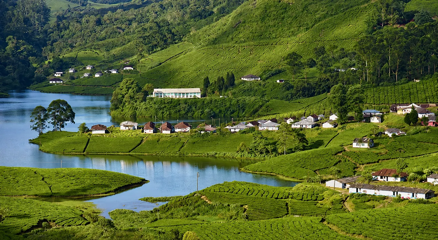
Pooppara is a hill village in the Udumbanchola area of Idukki. It has a cool climate, green hills and many tea farms. NH 85 connects the village with Bodimettu and the Tamil Nadu border.

Pooppara is a good choice for travellers who want a calm place near Munnar. The drive is an important part of the visit. The roads pass tea farms, valleys and mountain views. Visitors can stop here for a few hours, take a day trip or stay nearby while exploring the area.
Why Pooppara

Four reasons to make the turn

  • Enjoy a quieter place near Munnar. Pooppara is less busy than Munnar town.
  • Take a scenic road trip. The roads to Devikulam, Anayirangal and Bodimettu have tea farms and mountain views.
  • Visit nearby nature spots. These include Anayirangal Dam, Bodimettu, Mullanthandu Kurishumala and Shankarapandyan Mettu. Mathikettan Shola National Park is also close to the village area.
  • Learn about local life. Tea farming and tourism are important to people in Pooppara. Visitors should respect farms, private land and local rules.

Places nearby

Water, forest and wide-open ridges

Choose one or two unhurried stops and keep enough time for the mountain roads between them.

Planning notes for places near Pooppara

Anayirangal Dam

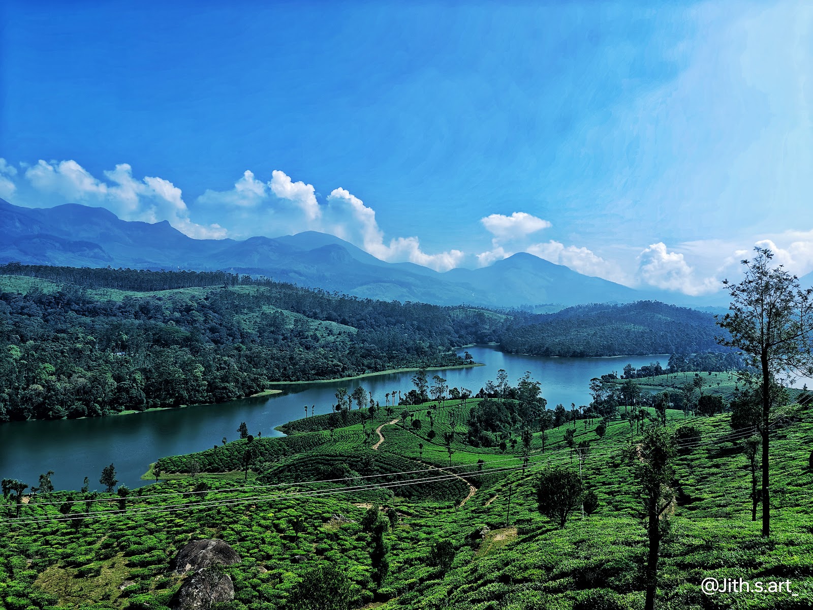
Anayirangal Dam is one of the best-known stops near Pooppara. Tea plantations and evergreen forest surround the reservoir. Kerala Tourism describes it as a picnic spot with boating. Check locally before you travel because boating hours and access can change.

Mathikettan Shola National Park

Mathikettan Shola is a protected forest in Pooppara village. It covers about 12.82 sq km and protects shola forest, grassland and wildlife habitat. Visitor activities are limited. Contact the Kerala Forest and Wildlife Department before planning a visit, and enter only through an approved eco-tourism programme.

Chathurangappara

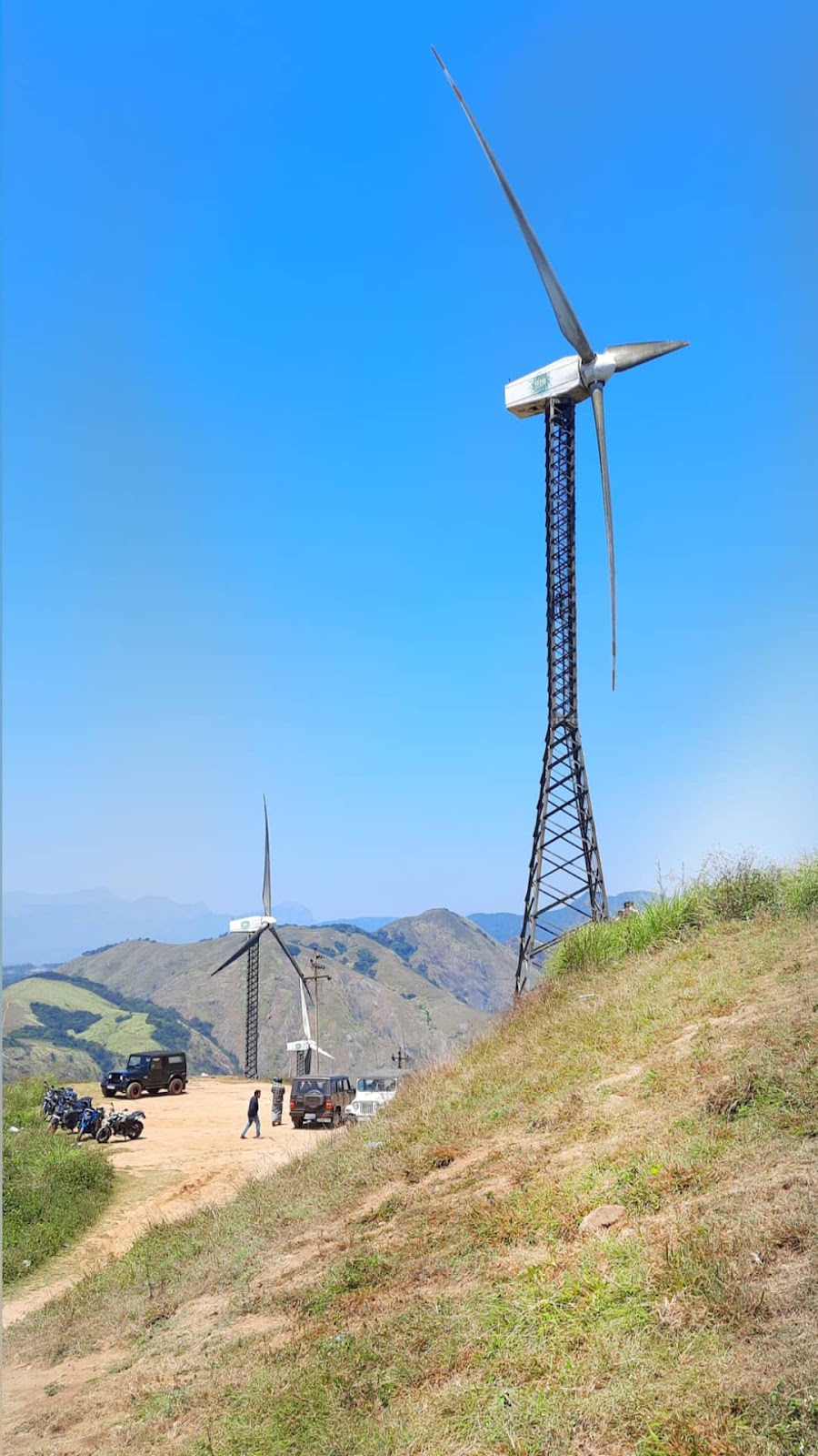
Chathurangappara is a ridge viewpoint near the Kerala–Tamil Nadu border. The area is known for wind turbines, open hill views and misty valley scenery. A short uphill drive leads towards the ridge, followed by walking on uneven ground. The ridge is exposed, so avoid it during heavy rain, strong wind or poor visibility.

Bodimettu road

The NH 85 drive towards Bodimettu is a scenic part of a Pooppara trip. Kerala Tourism lists Bodimettu about 11 km from Pooppara. Stop only where parking is safe, and do not enter private tea or cardamom estates without permission.

Check current opening hours, entry rules, boating availability and road conditions before travel.

Things to do

Things to do in Pooppara

  • Take a scenic drive through the high ranges. The roads towards Anayirangal, Devikulam and Bodimettu pass tea farms, valleys and mountain scenery.
  • Visit Anayirangal Dam. Enjoy the reservoir view and use boating only when the authorised service is operating.
  • Explore Mathikettan Shola responsibly. Join only an approved eco-tourism or guided activity, follow forest rules and never walk into protected areas on your own.
  • See the windmill ridge at Chathurangappara. Go in clear weather, wear shoes with good grip and stay away from steep edges.
  • Photograph the landscape from safe public viewpoints. Early morning and late afternoon often offer soft light, but mist can reduce visibility quickly.
  • Pause for local food and tea in the village. Choose local shops, carry reusable water bottles and take your waste back with you.
  • Respect plantation life. Tea and cardamom estates are working properties, so ask permission before entering or photographing people at work.

Best time to visit

Every season changes the view

Clear winter mornings are the easiest for viewpoints. Monsoon turns the hills intensely green, but rain and mist can reshape the day quickly.

Oct – Feb

October to February is the most comfortable time for many visitors. The weather is usually cooler, and clear days are good for viewpoints and road trips. Kerala Tourism recommends this period for the Idukki high ranges. December and January can feel cold, especially early in the morning and after sunset.

Mar – May

March to May is generally warmer and drier. Start outdoor visits early and carry drinking water. April can be the warmest month in the nearby Mathikettan Shola area.

Jun – Sep

June to September is the main southwest monsoon. The hills become green, but heavy rain, mist and slippery roads can affect travel. Northeast monsoon rain can also continue in October and November. Check the local weather and road advisories before every monsoon trip.

For viewpoints, choose a clear morning or late afternoon. Do not continue to an exposed ridge when visibility is poor or the wind is very strong.

How to reach

How to reach Pooppara

By road

Pooppara is on the high-range road network in Idukki. NH 85 links the village with the Munnar–Devikulam side and with Bodimettu at the Kerala–Tamil Nadu border. Kerala Tourism lists Pooppara 24.5 km from Devikulam, 11 km from Bodimettu and 16 km from Rajakkad.

From Kochi, travel towards Munnar or Devikulam and continue towards Pooppara. From Theni or Madurai, the usual road approach enters Kerala at Bodimettu on NH 85. From Kottayam or Thekkady, routes through the Idukki high ranges may be practical. Travel time can vary because of bends, fog, rain and road work.

By bus

Kerala Tourism notes bus links to the Santhanpara area from Kochi and Kottayam. Local and regional services can change. Confirm the current route and last departure with KSRTC or a local bus operator before travel.

By train or air

Aluva railway station and Cochin International Airport are common gateways for the Munnar side of the high ranges. Travellers coming through Tamil Nadu may also compare Theni or Madurai connections. A taxi or a pre-arranged transfer is useful for the final hill-road journey.

Before you start

Check the same-day weather and road condition, especially during the monsoon. Avoid driving after dark if you are not used to narrow mountain roads, fog and sharp bends.

Open Pooppara in Google Maps

A simple plan

A simple one-day Pooppara itinerary

Morning

Start in Pooppara after breakfast. Take a slow drive through the tea-growing landscape towards Anayirangal. Spend time at the reservoir viewpoint. Use boating only if the authorised service is open and the weather is safe.

Midday

Return towards Pooppara or Santhanpara for lunch. Choose a local restaurant and allow extra time because hill-road travel is slower than the distance suggests.

Afternoon

If the sky is clear, continue to Chathurangappara for open ridge and valley views. Walk only on the regular access path and leave before mist or darkness makes the road difficult.

Nature-focused alternative

Plan Mathikettan Shola National Park instead of the viewpoint day. Contact the Kerala Forest and Wildlife Department in advance. Enter only through an approved eco-tourism or guided programme. Do not combine a forest visit with too many other stops.

Keep the plan flexible. Rain, fog, forest rules, boating schedules and road work can change the day.

Plan well

Practical information for Pooppara

  • Stay: Pooppara and nearby villages have small stays. Chinnakanal, Santhanpara and Munnar offer more choices. Book early for weekends and the October–February season.
  • Transport: A car with an experienced hill-road driver is useful. Keep extra travel time for bends, fog and short stops. Confirm the last bus before relying on public transport.
  • Food and money: Carry drinking water and a small snack for remote viewpoints. Keep some cash because card or mobile payments may not work everywhere.
  • Clothing: Pack a light warm layer for mornings and evenings. During the monsoon, carry a rain jacket and shoes with good grip.
  • Phone signal: Mobile coverage can become weak on forest roads and exposed ridges. Save important directions and contact details before leaving the village.
  • Responsible travel: Do not enter private plantations without permission. Ask before photographing people. Avoid plastic waste, loud music and feeding wildlife.
  • Check before travel: Confirm road conditions, boating, forest access, opening hours and fees from the official operator on the day of the visit.

Safety first

Safety notes

  • Drive slowly on hill roads. Sharp bends, fog, rain and loose gravel can reduce visibility and grip. Avoid night driving if you are not familiar with the route.
  • Never stop on a blind bend for a photograph. Park only where the vehicle is fully off the road and stopping is allowed.
  • Stay away from reservoir edges and do not swim in the dam. Use only authorised boats and follow the life-jacket rule.
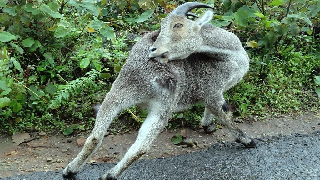
  • Treat Mathikettan Shola as wildlife habitat. Enter only with permission, stay with the approved guide and never approach elephants, gaur or other animals.
  • Chathurangappara is an exposed ridge. Keep away from steep edges, especially during strong wind, rain or mist. Wear shoes with good grip.
  • During the monsoon, check official weather and local road advisories before leaving. Turn back if visibility becomes poor or water crosses the road.
  • Tell your stay or driver where you are going when visiting a remote area. Keep your phone charged. For an urgent police, fire or medical emergency in Kerala, call 112.

Pooppara in frames

A landscape shaped by mist and light

Useful answers

Pooppara travel FAQs

Is Pooppara the same as Poopara?

Yes. Poopara is a common alternate spelling of Pooppara. This guide uses Pooppara as the official page name.

What is Pooppara known for?

Pooppara is a quiet high-range village in Idukki. Visitors come for scenic drives, tea-growing landscapes and access to nearby places such as Anayirangal Dam and Mathikettan Shola.

How far is Pooppara from Bodimettu?

Kerala Tourism lists Bodimettu about 11 km from Pooppara. Travel time depends on traffic, fog, rain and road conditions.

What are the best places to visit near Pooppara?

Good options include Anayirangal Dam, Mathikettan Shola National Park and Chathurangappara. Forest entry, boating and local access should be checked before travel.

What can I do in Pooppara?

You can take scenic drives, visit the reservoir, enjoy public viewpoints, try local food and join approved eco-tourism activities. Do not enter private estates or protected forest without permission.

What is the best time to visit Pooppara?

October to February is usually the most comfortable period. Monsoon travel can be beautiful, but heavy rain and mist may affect roads and viewpoints.

Can I visit Mathikettan Shola on my own?

Do not enter the protected forest on your own. Contact the Kerala Forest and Wildlife Department and use an approved guide or eco-tourism programme.

How do I reach Pooppara?

NH 85 links Pooppara with the Munnar–Devikulam side and Bodimettu at the Tamil Nadu border. Local bus services are available in the high ranges, but schedules should be confirmed before travel.

Stay close to the hills

Find a stay near Pooppara

Keep more time for the roads, viewpoints and quiet mornings.

View all nearby stays